Distance to Sands Point, New York

Calculating Your Route
Just a moment while we process your request...
Location Information
-
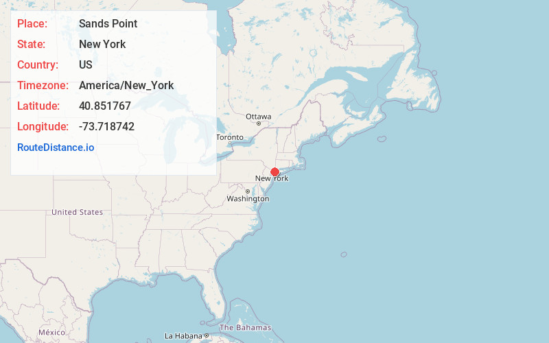
Full AddressSands Point, NY 11050
-
Coordinates40.8517669, -73.718742
-
LocationSands Point , New York , US
-
TimezoneAmerica/New_York
-
Current Local Time10:01:20 AM America/New_YorkTuesday, June 24, 2025
-
Page Views0
About Sands Point
Sands Point is a village located at the tip of the Cow Neck Peninsula in the Town of North Hempstead, in Nassau County, on the North Shore of Long Island, in New York, United States. It is considered part of the Greater Port Washington area, which is anchored by Port Washington.


Nearby Places
Found 10 places within 50 miles

Manorhaven
0.6 mi
1.0 km
Manorhaven, NY 11050
Get directions

Port Washington
2.1 mi
3.4 km
Port Washington, NY
Get directions

Kings Point
2.4 mi
3.9 km
Kings Point, NY
Get directions

Great Neck
3.6 mi
5.8 km
Great Neck, NY
Get directions

Flower Hill
3.6 mi
5.8 km
Flower Hill, NY
Get directions

Manhasset
3.9 mi
6.3 km
Manhasset, NY
Get directions

Sea Cliff
3.9 mi
6.3 km
Sea Cliff, NY
Get directions

Munsey Park
4.2 mi
6.8 km
Munsey Park, NY 11030
Get directions

Glenwood Landing
4.4 mi
7.1 km
Glenwood Landing, NY
Get directions

Glen Cove
4.5 mi
7.2 km
Glen Cove, NY
Get directions
Location Links
Local Weather
Weather Information
Coming soon!
Location Map
Static map view of Sands Point, New York
Browse Places by Distance
Places within specific distances from Sands Point
Short Distances
Long Distances
Click any distance to see all places within that range from Sands Point. Distances shown in miles (1 mile ≈ 1.61 kilometers).