Distance to Sandtown, Mississippi

Calculating Your Route
Just a moment while we process your request...
Location Information
-
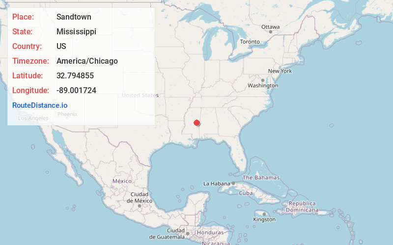
Full AddressSandtown, MS 39350
-
Coordinates32.7948552, -89.0017242
-
LocationMississippi , US
-
TimezoneAmerica/Chicago
-
Current Local Time10:43:38 PM America/ChicagoThursday, May 29, 2025
-
Page Views0
About Sandtown
Sandtown is an unincorporated community located in Neshoba County, Mississippi, United States. Sandtown is approximately 4.7 miles southwest of Bogue Chitto along Mississippi Highway 482.
Sandtown's name is derived from the translation of the name of a Choctaw village that previously occupied the site.
Nearby Places
Found 10 places within 50 miles

Forestdale
3.3 mi
5.3 km
Forestdale, MS 39350
Get directions
Bloomfield
4.3 mi
6.9 km
Bloomfield, MS 39350
Get directions
Tucker
6.4 mi
10.3 km
Tucker, MS 39350
Get directions

Philadelphia
6.9 mi
11.1 km
Philadelphia, MS 39350
Get directions
Coy
9.0 mi
14.5 km
Coy, MS 39354
Get directions
Prince Chapel
9.4 mi
15.1 km
Prince Chapel, MS 39354
Get directions
Lynville
11.6 mi
18.7 km
Lynville, MS 39354
Get directions

Pearl River
13.2 mi
21.2 km
Pearl River, MS 39350
Get directions

Noxapater
14.1 mi
22.7 km
Noxapater, MS 39346
Get directions
Waldo
16.5 mi
26.6 km
Waldo, MS 39350
Get directions
Location Links
Local Weather
Weather Information
Coming soon!
Location Map
Static map view of Sandtown, Mississippi
Browse Places by Distance
Places within specific distances from Sandtown
Short Distances
Long Distances
Click any distance to see all places within that range from Sandtown. Distances shown in miles (1 mile ≈ 1.61 kilometers).