Distance to Sandts Eddy, Pennsylvania

Calculating Your Route
Just a moment while we process your request...
Location Information
-
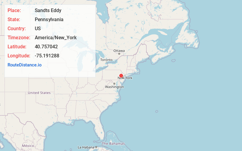
Full AddressSandts Eddy, Lower Mt Bethel Township, PA 18040
-
Coordinates40.7570421, -75.1912878
-
LocationLower Mt Bethel Township , Pennsylvania , US
-
TimezoneAmerica/New_York
-
Current Local Time11:03:05 PM America/New_YorkTuesday, June 17, 2025
-
Page Views0


Nearby Places
Found 10 places within 50 miles

Martins Creek
1.9 mi
3.1 km
Martins Creek, PA
Get directions

Forks Township
1.9 mi
3.1 km
Forks Township, PA 18040
Get directions

Harmony
2.8 mi
4.5 km
Harmony, NJ
Get directions
Lower Harmony
3.0 mi
4.8 km
Lower Harmony, Harmony, NJ 08865
Get directions

Tatamy
3.6 mi
5.8 km
Tatamy, PA
Get directions

Stockertown
3.7 mi
6.0 km
Stockertown, PA
Get directions

Lower Mt Bethel Township
3.7 mi
6.0 km
Lower Mt Bethel Township, PA
Get directions
Zucksville
3.8 mi
6.1 km
Zucksville, PA 18040
Get directions

Phillipsburg
4.2 mi
6.8 km
Phillipsburg, NJ 08865
Get directions

Lopatcong
4.2 mi
6.8 km
Lopatcong, NJ
Get directions
Location Links
Local Weather
Weather Information
Coming soon!
Location Map
Static map view of Sandts Eddy, Pennsylvania
Browse Places by Distance
Places within specific distances from Sandts Eddy
Short Distances
Long Distances
Click any distance to see all places within that range from Sandts Eddy. Distances shown in miles (1 mile ≈ 1.61 kilometers).