Distance to Sandy Bend, Washington

Calculating Your Route
Just a moment while we process your request...
Location Information
-
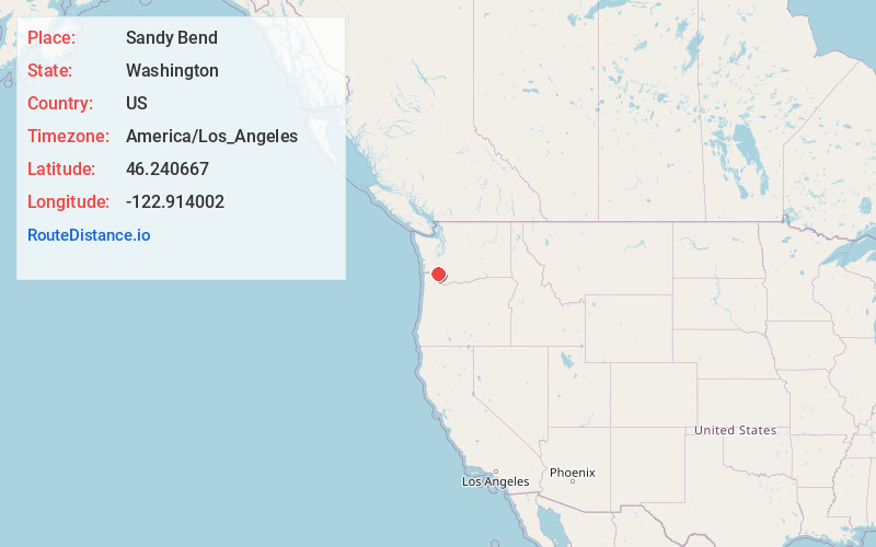
Full AddressSandy Bend, WA 98611
-
Coordinates46.2406671, -122.9140023
-
LocationSandy Bend , Washington , US
-
TimezoneAmerica/Los_Angeles
-
Current Local Time4:41:22 PM America/Los_AngelesWednesday, May 21, 2025
-
Page Views0
About Sandy Bend
Sandy Bend is an unincorporated community in Cowlitz County, Washington, south of the city of Castle Rock, west of Washington State Route 411, and to the west of the Cowlitz River. Sandy Bend is located along or near Sandy Bend Road between Castle Rock and West Side Highway.
Nearby Places
Found 10 places within 50 miles

Pleasant Hill
1.4 mi
2.3 km
Pleasant Hill, WA 98626
Get directions

Castle Rock
2.4 mi
3.9 km
Castle Rock, WA 98611
Get directions

Ostrander
3.5 mi
5.6 km
Ostrander, WA 98626
Get directions
Longview Heights
4.6 mi
7.4 km
Longview Heights, WA 98632
Get directions
Rocky Point
4.8 mi
7.7 km
Rocky Point, WA 98626
Get directions
Coal Creek
5.7 mi
9.2 km
Coal Creek, WA 98632
Get directions

Kelso
6.5 mi
10.5 km
Kelso, WA
Get directions
Eufaula Heights
6.9 mi
11.1 km
Eufaula Heights, WA 98632
Get directions
Eufaula
7.1 mi
11.4 km
Eufaula, WA 98632
Get directions

Longview
7.2 mi
11.6 km
Longview, WA
Get directions
Location Links
Local Weather
Weather Information
Coming soon!
Location Map
Static map view of Sandy Bend, Washington
Browse Places by Distance
Places within specific distances from Sandy Bend
Short Distances
Long Distances
Click any distance to see all places within that range from Sandy Bend. Distances shown in miles (1 mile ≈ 1.61 kilometers).