Distance to Sandy Bottom, North Carolina

Calculating Your Route
Just a moment while we process your request...
Location Information
-
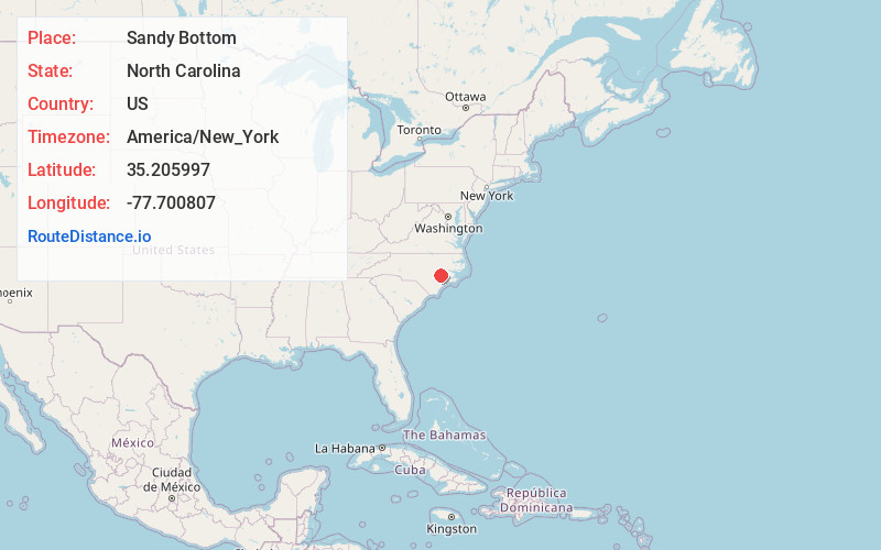
Full AddressSandy Bottom, NC 28504
-
Coordinates35.2059966, -77.7008072
-
LocationNorth Carolina , US
-
TimezoneAmerica/New_York
-
Current Local Time1:47:33 AM America/New_YorkWednesday, June 18, 2025
-
Page Views0


Nearby Places
Found 10 places within 50 miles

Bucklesberry
2.0 mi
3.2 km
Bucklesberry, NC 28551
Get directions
Albrittons
2.1 mi
3.4 km
Albrittons, NC 28504
Get directions
Falling Creek
3.9 mi
6.3 km
Falling Creek, NC 28504
Get directions
Tulls Mill
4.1 mi
6.6 km
Tulls Mill, NC 28525
Get directions
Deep Run
4.2 mi
6.8 km
Deep Run, NC 28525
Get directions
Strabane
4.2 mi
6.8 km
Strabane, NC 28504
Get directions
Parrott Fork
4.9 mi
7.9 km
Parrott Fork, NC 28504
Get directions
Lawsons Mill
6.7 mi
10.8 km
Lawsons Mill, NC 28525
Get directions

Kinston
7.8 mi
12.6 km
Kinston, NC
Get directions
Nobles Mill
8.4 mi
13.5 km
Nobles Mill, NC 28525
Get directions
Location Links
Local Weather
Weather Information
Coming soon!
Location Map
Static map view of Sandy Bottom, North Carolina
Browse Places by Distance
Places within specific distances from Sandy Bottom
Short Distances
Long Distances
Click any distance to see all places within that range from Sandy Bottom. Distances shown in miles (1 mile ≈ 1.61 kilometers).