Distance to Sandy Ridge, Pennsylvania

Calculating Your Route
Just a moment while we process your request...
Location Information
-
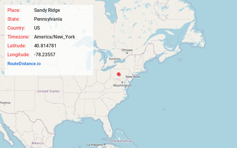
Full AddressSandy Ridge, PA
-
Coordinates40.8147805, -78.2355696
-
LocationSandy Ridge , Pennsylvania , US
-
TimezoneAmerica/New_York
-
Current Local Time6:30:03 PM America/New_YorkTuesday, June 24, 2025
-
Page Views0
About Sandy Ridge
Sandy Ridge is an unincorporated community and census-designated place in Centre County, Pennsylvania, United States. It is part of the State College, Pennsylvania Metropolitan Statistical Area. The population was 407 at the 2010 census.
Nearby Places
Found 10 places within 50 miles

Osceola Mills
3.0 mi
4.8 km
Osceola Mills, PA 16666
Get directions

South Philipsburg
5.0 mi
8.0 km
South Philipsburg, PA 16866
Get directions
Chester Hill
5.2 mi
8.4 km
Chester Hill, PA 16866
Get directions

Philipsburg
5.7 mi
9.2 km
Philipsburg, PA 16866
Get directions

Houtzdale
6.1 mi
9.8 km
Houtzdale, PA 16651
Get directions
Brisbin
6.4 mi
10.3 km
Brisbin, PA 16651
Get directions
North Philipsburg
6.6 mi
10.6 km
North Philipsburg, PA 16866
Get directions
Graham
6.9 mi
11.1 km
Graham, Decatur Township, PA 16866
Get directions

Hawk Run
7.7 mi
12.4 km
Hawk Run, PA
Get directions
West Decatur
8.2 mi
13.2 km
West Decatur, PA
Get directions
Location Links
Local Weather
Weather Information
Coming soon!
Location Map
Static map view of Sandy Ridge, Pennsylvania
Browse Places by Distance
Places within specific distances from Sandy Ridge
Short Distances
Long Distances
Click any distance to see all places within that range from Sandy Ridge. Distances shown in miles (1 mile ≈ 1.61 kilometers).