Distance to Sanford, Florida

Calculating Your Route
Just a moment while we process your request...
Location Information
-
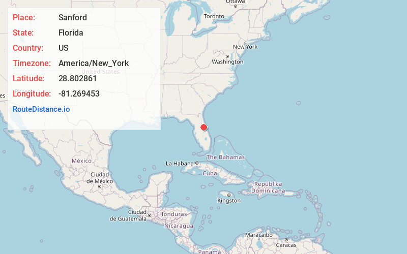
Full AddressSanford, FL
-
Coordinates28.8028612, -81.269453
-
LocationSanford , Florida , US
-
TimezoneAmerica/New_York
-
Current Local Time6:18:01 AM America/New_YorkWednesday, June 18, 2025
-
Website
-
Page Views0
About Sanford
Sanford is a city and the county seat of Seminole County, Florida, United States. It is located in Central Florida and its population was 61,051 as of the 2020 census. It is part of the Orlando–Kissimmee–Sanford Metropolitan Statistical Area.


Nearby Places
Found 8 places within 50 miles

Deltona
6.8 mi
10.9 km
Deltona, FL
Get directions

Alafaya
16.9 mi
27.2 km
Alafaya, FL
Get directions

Orlando
19.4 mi
31.2 km
Orlando, FL
Get directions

Pine Hills
20.3 mi
32.7 km
Pine Hills, FL
Get directions

Daytona Beach
31.7 mi
51.0 km
Daytona Beach, FL
Get directions

Kissimmee
36.0 mi
57.9 km
Kissimmee, FL
Get directions

Leesburg
36.8 mi
59.2 km
Leesburg, FL
Get directions

The Villages
45.3 mi
72.9 km
The Villages, FL
Get directions
Location Links
Local Weather
Weather Information
Coming soon!
Location Map
Static map view of Sanford, Florida
Browse Places by Distance
Places within specific distances from Sanford
Short Distances
Long Distances
Click any distance to see all places within that range from Sanford. Distances shown in miles (1 mile ≈ 1.61 kilometers).