Distance to Santa Fe, Tennessee

Calculating Your Route
Just a moment while we process your request...
Location Information
-
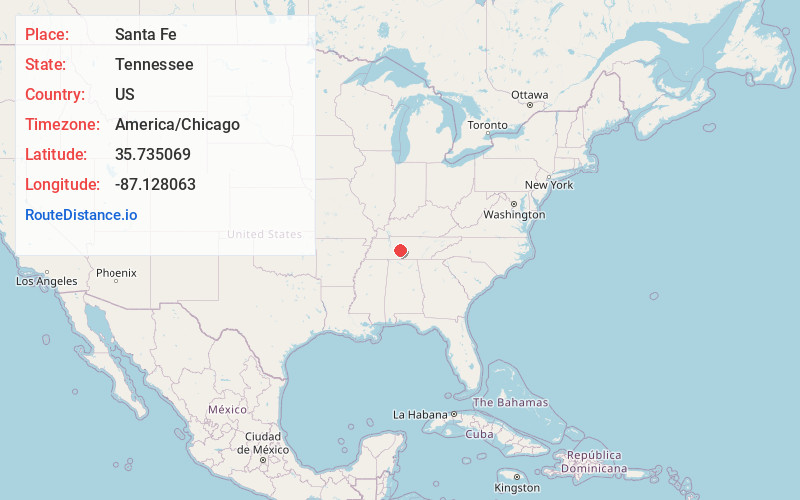
Full AddressSanta Fe, TN 38482
-
Coordinates35.735069, -87.1280626
-
LocationSanta Fe , Tennessee , US
-
TimezoneAmerica/Chicago
-
Current Local Time12:16:10 AM America/ChicagoWednesday, June 25, 2025
-
Page Views0
About Santa Fe
Santa Fe is an unincorporated community in Maury County, Tennessee, United States. Its ZIP code is 38482.
Nearby Places
Found 10 places within 50 miles

Theta
5.3 mi
8.5 km
Theta, TN 38401
Get directions
Arkland
5.8 mi
9.3 km
Arkland, TN 38487
Get directions
Gant
5.8 mi
9.3 km
Gant, TN 38401
Get directions
Johnsons Mill
6.4 mi
10.3 km
Johnsons Mill, TN 38476
Get directions
Smarden
7.2 mi
11.6 km
Smarden, TN 37064
Get directions
Godwin
7.3 mi
11.7 km
Godwin, TN 38401
Get directions
Armour Village
7.3 mi
11.7 km
Armour Village, TN 38401
Get directions
Mill Seat
8.4 mi
13.5 km
Mill Seat, TN 38476
Get directions
Poplar Top
8.4 mi
13.5 km
Poplar Top, TN 38401
Get directions

Columbia
9.8 mi
15.8 km
Columbia, TN 38401
Get directions
Location Links
Local Weather
Weather Information
Coming soon!
Location Map
Static map view of Santa Fe, Tennessee
Browse Places by Distance
Places within specific distances from Santa Fe
Short Distances
Long Distances
Click any distance to see all places within that range from Santa Fe. Distances shown in miles (1 mile ≈ 1.61 kilometers).