Distance to Santa Rita Copper Mines Historical Marker, New Mexico

Calculating Your Route
Just a moment while we process your request...
Location Information
-
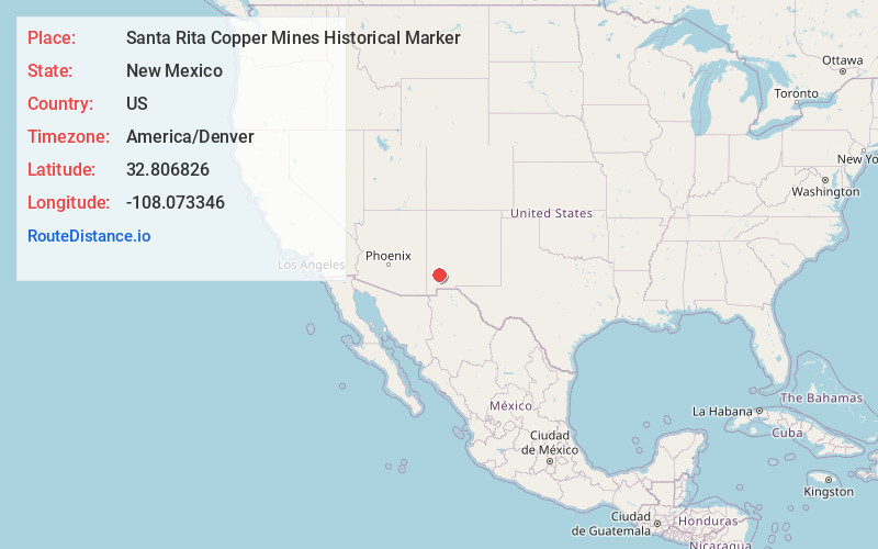
Full AddressSanta Rita Copper Mines Historical Marker, Hanover, NM 88041
-
Coordinates32.806826, -108.0733457
-
LocationHanover , New Mexico , US
-
TimezoneAmerica/Denver
-
Current Local Time9:31:01 PM America/DenverSunday, June 1, 2025
-
Page Views0


Nearby Places
Found 10 places within 50 miles

Wimsattville
0.7 mi
1.1 km
Wimsattville, NM 88041
Get directions
Turnerville
0.7 mi
1.1 km
Turnerville, NM 88041
Get directions

Hanover
1.1 mi
1.8 km
Hanover, NM 88041
Get directions
Union Hill
1.9 mi
3.1 km
Union Hill, NM 88041
Get directions
Vanadium
3.2 mi
5.1 km
Vanadium, NM 88023
Get directions

Fort Bayard
4.5 mi
7.2 km
Fort Bayard, NM 88061
Get directions

Santa Clara
5.0 mi
8.0 km
Santa Clara, NM
Get directions

Mimbres
6.4 mi
10.3 km
Mimbres, NM
Get directions
North Hurley
6.7 mi
10.8 km
North Hurley, NM 88043
Get directions

Arenas Valley
8.0 mi
12.9 km
Arenas Valley, NM
Get directions
Location Links
Local Weather
Weather Information
Coming soon!
Location Map
Static map view of Santa Rita Copper Mines Historical Marker, New Mexico
Browse Places by Distance
Places within specific distances from Santa Rita Copper Mines Historical Marker
Short Distances
Long Distances
Click any distance to see all places within that range from Santa Rita Copper Mines Historical Marker. Distances shown in miles (1 mile ≈ 1.61 kilometers).