Distance to Santee Circle, South Carolina

Calculating Your Route
Just a moment while we process your request...
Location Information
-
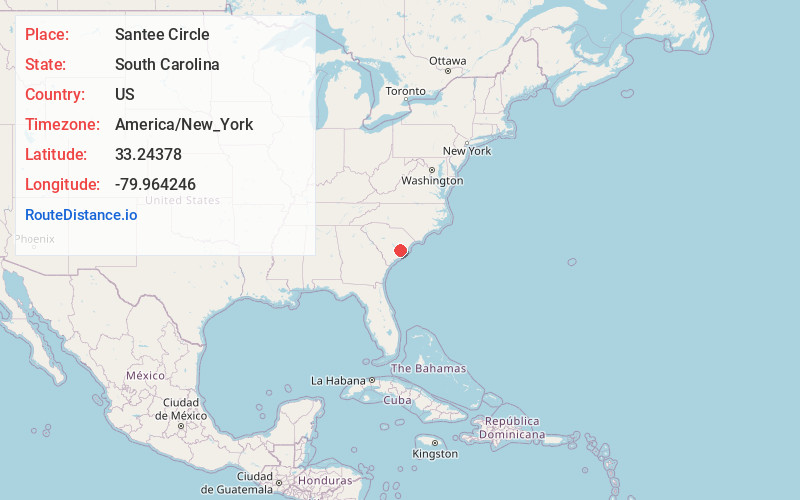
Full AddressSantee Circle, SC 29461
-
Coordinates33.2437799, -79.9642462
-
LocationSouth Carolina , US
-
TimezoneAmerica/New_York
-
Current Local Time5:22:38 AM America/New_YorkWednesday, June 18, 2025
-
Page Views0
Nearby Places
Found 10 places within 50 miles

Simpson Crossing
0.7 mi
1.1 km
Simpson Crossing, SC 29461
Get directions
Wampee
3.9 mi
6.3 km
Wampee, Pinopolis, SC 29469
Get directions

Bonneau
4.3 mi
6.9 km
Bonneau, SC 29431
Get directions

Moncks Corner
4.3 mi
6.9 km
Moncks Corner, SC 29461
Get directions

Pinopolis
4.4 mi
7.1 km
Pinopolis, SC
Get directions
Old Cordesville
5.3 mi
8.5 km
Old Cordesville, SC 29461
Get directions

Bonneau Beach
5.7 mi
9.2 km
Bonneau Beach, SC 29431
Get directions
Wilder
7.2 mi
11.6 km
Wilder, SC 29479
Get directions
Chicora
8.5 mi
13.7 km
Chicora, SC 29469
Get directions
Whitesville
8.7 mi
14.0 km
Whitesville, SC 29461
Get directions
Location Links
Local Weather
Weather Information
Coming soon!
Location Map
Static map view of Santee Circle, South Carolina
Browse Places by Distance
Places within specific distances from Santee Circle
Short Distances
Long Distances
Click any distance to see all places within that range from Santee Circle. Distances shown in miles (1 mile ≈ 1.61 kilometers).