Distance to Santee, Nebraska

Calculating Your Route
Just a moment while we process your request...
Location Information
-
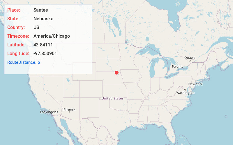
Full AddressSantee, NE 68760
-
Coordinates42.8411104, -97.8509008
-
LocationSantee , Nebraska , US
-
TimezoneAmerica/Chicago
-
Current Local Time7:41:33 AM America/ChicagoFriday, June 6, 2025
-
Page Views0
About Santee
Santee is the principal village of the Santee Sioux Reservation in Knox County, Nebraska, United States. The population was 346 at the 2010 census.

Nearby Places
Found 10 places within 50 miles

Springfield
2.5 mi
4.0 km
Springfield, SD 57062
Get directions

Tyndall
10.5 mi
16.9 km
Tyndall, SD 57066
Get directions

Niobrara
10.8 mi
17.4 km
Niobrara, NE 68760
Get directions

Tabor
12.2 mi
19.6 km
Tabor, SD 57063
Get directions

Avon
15.5 mi
24.9 km
Avon, SD 57315
Get directions

Verdigre
19.3 mi
31.1 km
Verdigre, NE 68783
Get directions

Crofton
19.6 mi
31.5 km
Crofton, NE 68730
Get directions

Bloomfield
19.7 mi
31.7 km
Bloomfield, NE 68718
Get directions

Scotland
22.4 mi
36.0 km
Scotland, SD 57059
Get directions

Yankton
23.1 mi
37.2 km
Yankton, SD 57078
Get directions
Location Links
Local Weather
Weather Information
Coming soon!
Location Map
Static map view of Santee, Nebraska
Browse Places by Distance
Places within specific distances from Santee
Short Distances
Long Distances
Click any distance to see all places within that range from Santee. Distances shown in miles (1 mile ≈ 1.61 kilometers).