Distance to Santo, Texas

Calculating Your Route
Just a moment while we process your request...
Location Information
-
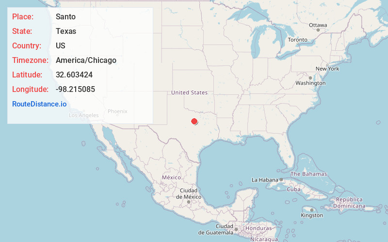
Full AddressSanto, TX 76472
-
Coordinates32.6034242, -98.2150851
-
LocationSanto , Texas , US
-
TimezoneAmerica/Chicago
-
Current Local Time3:06:36 PM America/ChicagoMonday, June 2, 2025
-
Page Views0
About Santo
Santo is an unincorporated community and census designated place in Palo Pinto County, Texas, United States. It lies on Farm to Market Road 4, 14 miles south of Palo Pinto, and has an estimated population of 315.
Nearby Places
Found 10 places within 50 miles

Gordon
9.7 mi
15.6 km
Gordon, TX 76453
Get directions

Mineral Wells
15.4 mi
24.8 km
Mineral Wells, TX
Get directions

Dennis
16.8 mi
27.0 km
Dennis, TX
Get directions

Strawn
16.9 mi
27.2 km
Strawn, TX 76475
Get directions

Tolar
22.7 mi
36.5 km
Tolar, TX 76476
Get directions

Graford
23.2 mi
37.3 km
Graford, TX 76449
Get directions

Western Lake
23.5 mi
37.8 km
Western Lake, TX 76087
Get directions

Stephenville
26.5 mi
42.6 km
Stephenville, TX 76401
Get directions

Weatherford
26.6 mi
42.8 km
Weatherford, TX
Get directions

Granbury
26.9 mi
43.3 km
Granbury, TX
Get directions
Location Links
Local Weather
Weather Information
Coming soon!
Location Map
Static map view of Santo, Texas
Browse Places by Distance
Places within specific distances from Santo
Short Distances
Long Distances
Click any distance to see all places within that range from Santo. Distances shown in miles (1 mile ≈ 1.61 kilometers).