Distance to Sapulpa, Oklahoma

Calculating Your Route
Just a moment while we process your request...
Location Information
-
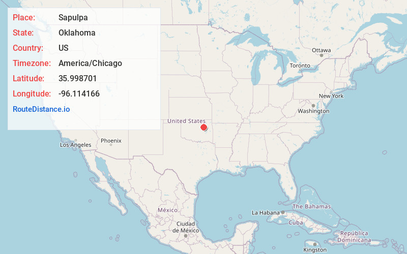
Full AddressSapulpa, OK
-
Coordinates35.9987007, -96.1141664
-
LocationSapulpa , Oklahoma , US
-
TimezoneAmerica/Chicago
-
Current Local Time5:52:41 AM America/ChicagoSaturday, June 21, 2025
-
Page Views1
About Sapulpa
Sapulpa is a city in and the county seat of Creek County, extending partly into Tulsa County, in the U.S. state of Oklahoma. The population was 21,929 at the time of the 2020 census, compared with 20,544 at the 2010 census.


Nearby Places
Found 6 places within 50 miles

Jenks
8.3 mi
13.4 km
Jenks, OK
Get directions

Tulsa
12.9 mi
20.8 km
Tulsa, OK
Get directions

Bixby
13.5 mi
21.7 km
Bixby, OK
Get directions

Broken Arrow
18.2 mi
29.3 km
Broken Arrow, OK
Get directions

Owasso
23.7 mi
38.1 km
Owasso, OK
Get directions

Muskogee
45.1 mi
72.6 km
Muskogee, OK
Get directions
Location Links
Local Weather
Weather Information
Coming soon!
Location Map
Static map view of Sapulpa, Oklahoma
Browse Places by Distance
Places within specific distances from Sapulpa
Short Distances
Long Distances
Click any distance to see all places within that range from Sapulpa. Distances shown in miles (1 mile ≈ 1.61 kilometers).