Distance to Saraland, Alabama

Calculating Your Route
Just a moment while we process your request...
Location Information
-
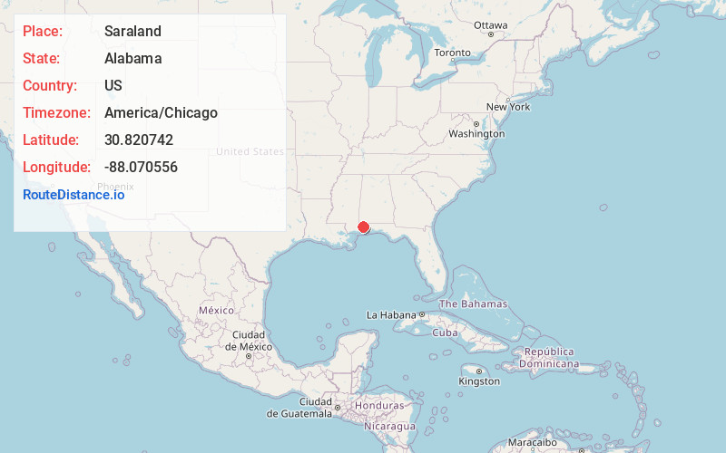
Full AddressSaraland, AL
-
Coordinates30.820742, -88.0705556
-
LocationSaraland , Alabama , US
-
TimezoneAmerica/Chicago
-
Current Local Time12:39:03 PM America/ChicagoWednesday, June 18, 2025
-
Website
-
Page Views0
About Saraland
Saraland is a city in Mobile County, Alabama, United States, and a suburb of Mobile. As of the 2020 census, the population of the city was 16,171, up from 13,405 at the 2010 census. Saraland, part of the Mobile metropolitan area, is the third largest city in Mobile County.


Nearby Places
Found 8 places within 50 miles

Prichard
5.3 mi
8.5 km
Prichard, AL
Get directions

Mobile
8.9 mi
14.3 km
Mobile, AL
Get directions

Tillmans Corner
17.8 mi
28.6 km
Tillmans Corner, AL
Get directions

Daphne
18.0 mi
29.0 km
Daphne, AL
Get directions

Fairhope
22.8 mi
36.7 km
Fairhope, AL 36532
Get directions

Foley
36.7 mi
59.1 km
Foley, AL
Get directions

Pascagoula
42.7 mi
68.7 km
Pascagoula, MS
Get directions

Gautier
44.0 mi
70.8 km
Gautier, MS
Get directions
Location Links
Local Weather
Weather Information
Coming soon!
Location Map
Static map view of Saraland, Alabama
Browse Places by Distance
Places within specific distances from Saraland
Short Distances
Long Distances
Click any distance to see all places within that range from Saraland. Distances shown in miles (1 mile ≈ 1.61 kilometers).