Distance to Sarver, Pennsylvania

Calculating Your Route
Just a moment while we process your request...
Location Information
-
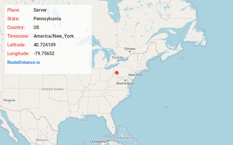
Full AddressSarver, PA 16055
-
Coordinates40.7241094, -79.7565197
-
LocationSarver , Pennsylvania , US
-
TimezoneAmerica/New_York
-
Current Local Time2:21:52 PM America/New_YorkTuesday, July 1, 2025
-
Page Views0
About Sarver
Sarver is an unincorporated community in Buffalo Township, Butler County, Pennsylvania. It is located in the south-eastern part of the county. Sarver is generally known as most of the area near and west/southwest of State Route 356 in the township.

Nearby Places
Found 10 places within 50 miles

Sarversville
0.3 mi
0.5 km
Sarversville, Sarver, PA 16055
Get directions
Coal Hollow
1.2 mi
1.9 km
Coal Hollow, Sarver, PA 16055
Get directions
Ekastown
1.4 mi
2.3 km
Ekastown, Sarver, PA 16055
Get directions
Sandy Lick
1.6 mi
2.6 km
Sandy Lick, Buffalo Township, PA 16055
Get directions
Bricker Crossroads
2.0 mi
3.2 km
Bricker Crossroads, Buffalo Township, PA 16055
Get directions

Cabot
2.9 mi
4.7 km
Cabot, PA 16023
Get directions
Leasureville
3.2 mi
5.1 km
Leasureville, Winfield Township, PA 16055
Get directions

Saxonburg
3.5 mi
5.6 km
Saxonburg, PA 16056
Get directions
Dennys Mills
4.1 mi
6.6 km
Dennys Mills, Winfield Township, PA 16023
Get directions
Houseville
4.5 mi
7.2 km
Houseville, Clinton Township, PA 16056
Get directions
Location Links
Local Weather
Weather Information
Coming soon!
Location Map
Static map view of Sarver, Pennsylvania
Browse Places by Distance
Places within specific distances from Sarver
Short Distances
Long Distances
Click any distance to see all places within that range from Sarver. Distances shown in miles (1 mile ≈ 1.61 kilometers).