Distance to Saugus, Montana

Calculating Your Route
Just a moment while we process your request...
Location Information
-
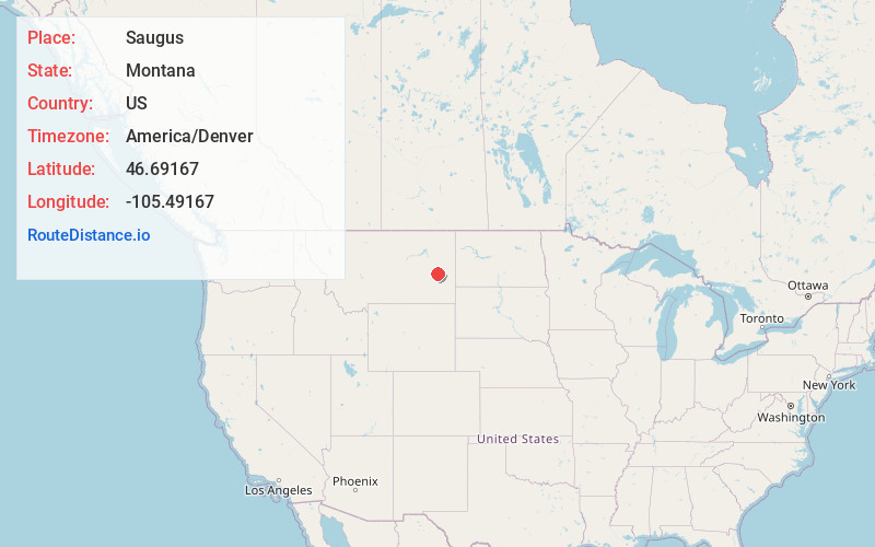
Full AddressSaugus, MT 59349
-
Coordinates46.69167, -105.49167
-
LocationSaugus , Montana , US
-
TimezoneAmerica/Denver
-
Current Local Time2:39:12 AM America/DenverWednesday, June 4, 2025
-
Page Views0
About Saugus
Saugus is a rural unincorporated community in Prairie County, Montana, United States, along the Yellowstone River. It was the location of the Custer Creek train wreck.
Saugus was once one of the biggest cattle and horse shipping points in eastern Montana. In 1909, then in Custer County, Saugus opened its post office.
Nearby Places
Found 10 places within 50 miles

Zero
1.6 mi
2.6 km
Zero, MT 59349
Get directions
Benz
2.3 mi
3.7 km
Benz, MT 59349
Get directions
Blatchford
2.4 mi
3.9 km
Blatchford, MT 59349
Get directions
Shirley
8.1 mi
13.0 km
Shirley, MT 59301
Get directions

Terry
11.0 mi
17.7 km
Terry, MT 59349
Get directions
Kinsey
11.5 mi
18.5 km
Kinsey, MT 59338
Get directions
McCloud
15.3 mi
24.6 km
McCloud, MT 59349
Get directions
Bluffport
17.6 mi
28.3 km
Bluffport, MT 59326
Get directions
Tusler
19.0 mi
30.6 km
Tusler, MT 59301
Get directions

Fallon
20.1 mi
32.3 km
Fallon, MT
Get directions
Location Links
Local Weather
Weather Information
Coming soon!
Location Map
Static map view of Saugus, Montana
Browse Places by Distance
Places within specific distances from Saugus
Short Distances
Long Distances
Click any distance to see all places within that range from Saugus. Distances shown in miles (1 mile ≈ 1.61 kilometers).