Distance to Savannah, North Carolina

Calculating Your Route
Just a moment while we process your request...
Location Information
-
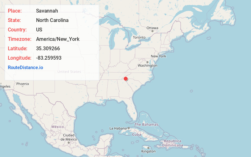
Full AddressSavannah, NC 28779
-
Coordinates35.3092661, -83.2595929
-
LocationSavannah , North Carolina , US
-
TimezoneAmerica/New_York
-
Current Local Time5:24:32 AM America/New_YorkWednesday, June 18, 2025
-
Page Views0
About Savannah
Savannah is an unincorporated community in Jackson County, North Carolina, United States. Savannah is located along North Carolina Highway 116 and US 441, south of Dillsboro and southeast of Webster. It has its own fire department, a community center, businesses lining US 441 and NC 116, and little else except homes.
Nearby Places
Found 10 places within 50 miles

Webster
3.4 mi
5.5 km
Webster, NC 28779
Get directions

Forest Hills
4.0 mi
6.4 km
Forest Hills, NC 28723
Get directions
Pumpkintown
4.0 mi
6.4 km
Pumpkintown, NC 28779
Get directions

Dillsboro
4.2 mi
6.8 km
Dillsboro, NC 28779
Get directions

Cullowhee
4.7 mi
7.6 km
Cullowhee, NC 28723
Get directions

Sylva
5.2 mi
8.4 km
Sylva, NC 28779
Get directions
Big Laurel
5.6 mi
9.0 km
Big Laurel, NC 28713
Get directions
Brendletown
6.6 mi
10.6 km
Brendletown, NC 28734
Get directions
Beta
7.1 mi
11.4 km
Beta, NC 28779
Get directions
Wilmot
7.1 mi
11.4 km
Wilmot, NC 28789
Get directions
Location Links
Local Weather
Weather Information
Coming soon!
Location Map
Static map view of Savannah, North Carolina
Browse Places by Distance
Places within specific distances from Savannah
Short Distances
Long Distances
Click any distance to see all places within that range from Savannah. Distances shown in miles (1 mile ≈ 1.61 kilometers).