Distance to Scalf, Kentucky

Calculating Your Route
Just a moment while we process your request...
Location Information
-
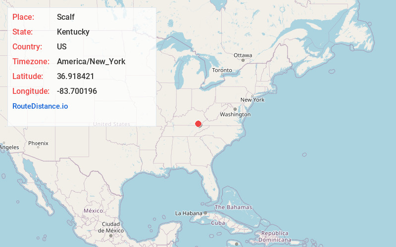
Full AddressScalf, KY 40982
-
Coordinates36.918421, -83.7001955
-
LocationScalf , Kentucky , US
-
TimezoneAmerica/New_York
-
Current Local Time12:02:07 PM America/New_YorkFriday, May 30, 2025
-
Page Views0
About Scalf
Scalf is an unincorporated community within Knox County, Kentucky, United States. It is located on the intersection of Hubbard Branch Rd and Stinking Creek Rd.
Nearby Places
Found 10 places within 50 miles

Walker
2.6 mi
4.2 km
Walker, KY 40997
Get directions
Hammond
3.1 mi
5.0 km
Hammond, KY 40935
Get directions
Rella
6.9 mi
11.1 km
Rella, KY 40902
Get directions
Flat Lick
7.2 mi
11.6 km
Flat Lick, KY 40935
Get directions
Himyar
8.1 mi
13.0 km
Himyar, KY 40906
Get directions

Arjay
8.4 mi
13.5 km
Arjay, KY 40902
Get directions

Fourmile
8.9 mi
14.3 km
Fourmile, KY 40939
Get directions
Gardner
9.6 mi
15.4 km
Gardner, KY 40913
Get directions

Artemus
9.7 mi
15.6 km
Artemus, KY
Get directions
Straight Creek
10.2 mi
16.4 km
Straight Creek, KY 40977
Get directions
Location Links
Local Weather
Weather Information
Coming soon!
Location Map
Static map view of Scalf, Kentucky
Browse Places by Distance
Places within specific distances from Scalf
Short Distances
Long Distances
Click any distance to see all places within that range from Scalf. Distances shown in miles (1 mile ≈ 1.61 kilometers).