Distance to Scarlets Mill, Pennsylvania

Calculating Your Route
Just a moment while we process your request...
Location Information
-
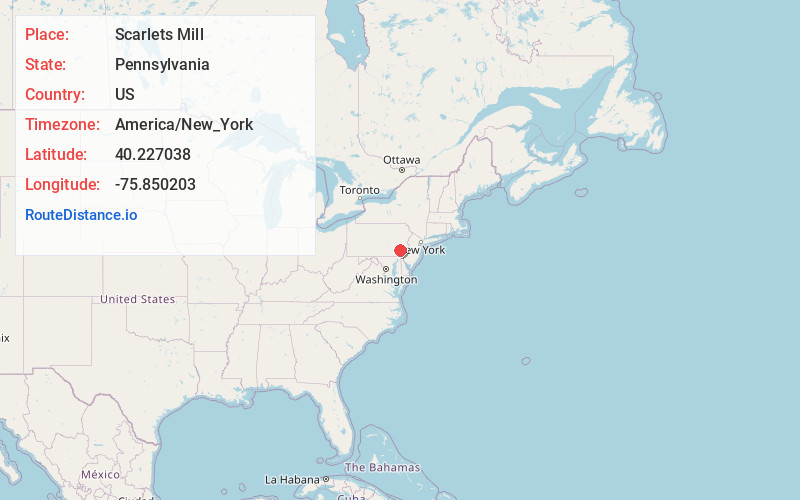
Full AddressScarlets Mill, Robeson Township, PA 19508
-
Coordinates40.227038, -75.8502031
-
LocationRobeson Township , Pennsylvania , US
-
TimezoneAmerica/New_York
-
Current Local Time5:43:57 PM America/New_YorkTuesday, June 3, 2025
-
Page Views0
About Scarlets Mill
Scarlets Mill is an unincorporated community in Robeson Township, Berks County, Pennsylvania, United States. The Twin Valley School District serves the village, whose zip code is 19508. Scarlets Mill is also located up Haycreek Road from the nearby village of Geigertown.
Scarlets Mill was named for John Scarlet.
Nearby Places
Found 10 places within 50 miles

Robeson Township
1.4 mi
2.3 km
Robeson Township, PA
Get directions
Trap Rock
1.9 mi
3.1 km
Trap Rock, Robeson Township, PA 19508
Get directions
Beckersville
3.0 mi
4.8 km
Beckersville, PA 19540
Get directions
Kulptown
3.1 mi
5.0 km
Kulptown, PA 19518
Get directions

Birdsboro
3.6 mi
5.8 km
Birdsboro, PA 19508
Get directions
New Morgan
3.8 mi
6.1 km
New Morgan, PA 19543
Get directions
Gibraltar
4.1 mi
6.6 km
Gibraltar, PA 19508
Get directions
Lorane
4.2 mi
6.8 km
Lorane, PA
Get directions
Baumstown
4.4 mi
7.1 km
Baumstown, PA 19508
Get directions

Flying Hills
4.8 mi
7.7 km
Flying Hills, PA 19607
Get directions
Location Links
Local Weather
Weather Information
Coming soon!
Location Map
Static map view of Scarlets Mill, Pennsylvania
Browse Places by Distance
Places within specific distances from Scarlets Mill
Short Distances
Long Distances
Click any distance to see all places within that range from Scarlets Mill. Distances shown in miles (1 mile ≈ 1.61 kilometers).