Distance to Schofield Pass, Colorado

Calculating Your Route
Just a moment while we process your request...
Location Information
-
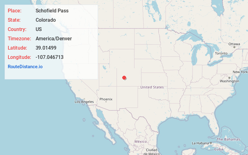
Full AddressSchofield Pass, Colorado 81654
-
Coordinates39.0149903, -107.046713
-
LocationColorado , US
-
TimezoneAmerica/Denver
-
Current Local Time8:03:25 PM America/DenverThursday, June 19, 2025
-
Page Views0


Nearby Places
Found 10 places within 50 miles

Gothic
4.9 mi
7.9 km
Gothic, CO 81224
Get directions

Marble
8.6 mi
13.8 km
Marble, CO 81623
Get directions

Irwin
10.1 mi
16.3 km
Irwin, CO 81230
Get directions

Crested Butte
10.5 mi
16.9 km
Crested Butte, CO 81224
Get directions

Snowmass Village
14.9 mi
24.0 km
Snowmass Village, CO
Get directions

Redstone Historic District
15.4 mi
24.8 km
Redstone Historic District, CO 81623
Get directions

Aspen
17.3 mi
27.8 km
Aspen, CO 81611
Get directions

Woody Creek
19.8 mi
31.9 km
Woody Creek, CO
Get directions

Wingo
22.9 mi
36.9 km
Wingo, CO 81654
Get directions

Somerset
23.5 mi
37.8 km
Somerset, CO 81434
Get directions
Location Links
Local Weather
Weather Information
Coming soon!
Location Map
Static map view of Schofield Pass, Colorado
Browse Places by Distance
Places within specific distances from Schofield Pass
Short Distances
Long Distances
Click any distance to see all places within that range from Schofield Pass. Distances shown in miles (1 mile ≈ 1.61 kilometers).