Distance to Schofield, Missouri

Calculating Your Route
Just a moment while we process your request...
Location Information
-
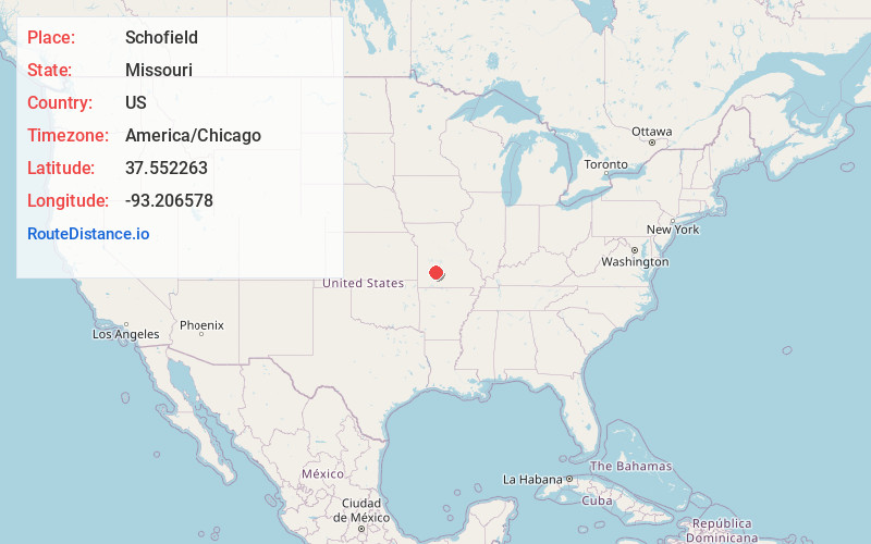
Full AddressSchofield, South Benton Township, MO 65663
-
Coordinates37.5522632, -93.2065782
-
LocationSouth Benton Township , Missouri , US
-
TimezoneAmerica/Chicago
-
Current Local Time9:20:07 AM America/ChicagoSaturday, June 21, 2025
-
Page Views0
Nearby Places
Found 10 places within 50 miles

Halfway
4.9 mi
7.9 km
Halfway, MO 65663
Get directions

Pleasant Hope
7.1 mi
11.4 km
Pleasant Hope, MO
Get directions
Olive
8.4 mi
13.5 km
Olive, Sheridan Township, MO 65648
Get directions

Buffalo
8.9 mi
14.3 km
Buffalo, MO 65622
Get directions
Goodson
10.6 mi
17.1 km
Goodson, MO 65663
Get directions

Bolivar
12.0 mi
19.3 km
Bolivar, MO 65613
Get directions

Fair Grove
12.0 mi
19.3 km
Fair Grove, MO 65648
Get directions
Morrisville
13.1 mi
21.1 km
Morrisville, MO 65710
Get directions
Louisburg
14.7 mi
23.7 km
Louisburg, MO 65685
Get directions
Adonis
18.9 mi
30.4 km
Adonis, MO 65613
Get directions
Location Links
Local Weather
Weather Information
Coming soon!
Location Map
Static map view of Schofield, Missouri
Browse Places by Distance
Places within specific distances from Schofield
Short Distances
Long Distances
Click any distance to see all places within that range from Schofield. Distances shown in miles (1 mile ≈ 1.61 kilometers).