Distance to Schofield, South Carolina

Calculating Your Route
Just a moment while we process your request...
Location Information
-
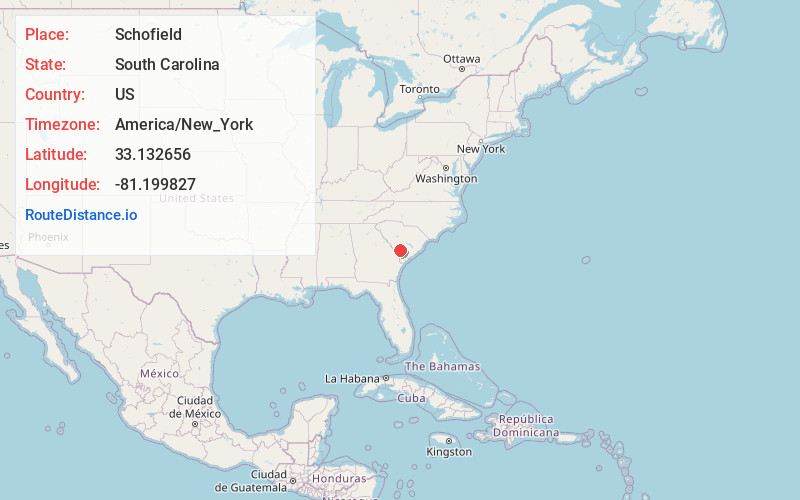
Full AddressSchofield, SC 29843
-
Coordinates33.1326563, -81.1998272
-
LocationSouth Carolina , US
-
TimezoneAmerica/New_York
-
Current Local Time1:47:44 PM America/New_YorkTuesday, July 1, 2025
-
Page Views0
Nearby Places
Found 10 places within 50 miles

Ulmer
2.5 mi
4.0 km
Ulmer, SC 29849
Get directions

Olar
3.4 mi
5.5 km
Olar, SC 29843
Get directions

Govan
6.3 mi
10.1 km
Govan, SC 29843
Get directions

Sycamore
6.8 mi
10.9 km
Sycamore, SC
Get directions
Kline
8.3 mi
13.4 km
Kline, SC 29812
Get directions
Hilda
10.1 mi
16.3 km
Hilda, SC
Get directions

Allendale
10.7 mi
17.2 km
Allendale, SC 29810
Get directions
Ehrhardt
11.0 mi
17.7 km
Ehrhardt, SC 29081
Get directions

Barnwell
12.0 mi
19.3 km
Barnwell, SC 29812
Get directions

Fairfax
12.2 mi
19.6 km
Fairfax, SC 29827
Get directions
Location Links
Local Weather
Weather Information
Coming soon!
Location Map
Static map view of Schofield, South Carolina
Browse Places by Distance
Places within specific distances from Schofield
Short Distances
Long Distances
Click any distance to see all places within that range from Schofield. Distances shown in miles (1 mile ≈ 1.61 kilometers).