Distance to Schooler Point Landing, Indiana

Calculating Your Route
Just a moment while we process your request...
Location Information
-
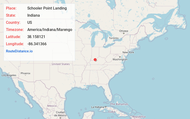
Full AddressSchooler Point Landing, IN 47137
-
Coordinates38.1581207, -86.3413655
-
LocationSchooler Point Landing , Indiana , US
-
TimezoneAmerica/Indiana/Marengo
-
Current Local Time11:23:10 PM America/Indiana/MarengoThursday, June 19, 2025
-
Page Views0
Nearby Places
Found 10 places within 50 miles

Artist Point
1.6 mi
2.6 km
Artist Point, IN 47137
Get directions
Cape Sandy
1.7 mi
2.7 km
Cape Sandy, IN 47137
Get directions
Fredonia
2.7 mi
4.3 km
Fredonia, IN 47137
Get directions

Leavenworth
2.9 mi
4.7 km
Leavenworth, IN 47137
Get directions
Wolf Creek
4.6 mi
7.4 km
Wolf Creek, KY 40104
Get directions

Alton
4.8 mi
7.7 km
Alton, IN
Get directions
New Amsterdam
5.3 mi
8.5 km
New Amsterdam, IN
Get directions
Jericho
5.3 mi
8.5 km
Jericho, Ohio Township, IN 47137
Get directions
Wyandotte
5.5 mi
8.9 km
Wyandotte, IN 47137
Get directions
Beechwood
5.6 mi
9.0 km
Beechwood, IN 47137
Get directions
Location Links
Local Weather
Weather Information
Coming soon!
Location Map
Static map view of Schooler Point Landing, Indiana
Browse Places by Distance
Places within specific distances from Schooler Point Landing
Short Distances
Long Distances
Click any distance to see all places within that range from Schooler Point Landing. Distances shown in miles (1 mile ≈ 1.61 kilometers).