Distance to Scipio Center, New York

Calculating Your Route
Just a moment while we process your request...
Location Information
-
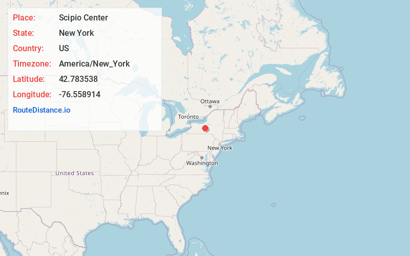
Full AddressScipio Center, NY 13147
-
Coordinates42.7835381, -76.558914
-
LocationScipio Center , New York , US
-
TimezoneAmerica/New_York
-
Current Local Time6:00:21 AM America/New_YorkThursday, June 19, 2025
-
Page Views0
About Scipio Center
Scipio Center is a hamlet in Cayuga County, New York, United States. The community is located along New York State Route 34, 10.3 miles south of Auburn. Scipio Center has a post office with ZIP code 13147, which opened on February 20, 1934.
Nearby Places
Found 10 places within 50 miles

Merrifield
1.3 mi
2.1 km
Merrifield, NY 13147
Get directions
Casowasco
3.3 mi
5.3 km
Casowasco, Scipio, NY 13118
Get directions
Scipioville
3.4 mi
5.5 km
Scipioville, NY 13026
Get directions
Owasco Lake Station
4.3 mi
6.9 km
Owasco Lake Station, Fleming, NY 13021
Get directions
Southeast Owasco
5.3 mi
8.5 km
Southeast Owasco, Moravia, NY 13118
Get directions

Fleming
5.5 mi
8.9 km
Fleming, NY 13021
Get directions

Owasco Hill
6.2 mi
10.0 km
Owasco Hill, Moravia, NY 13118
Get directions
Omro
6.4 mi
10.3 km
Omro, Niles, NY 13118
Get directions
Ledyard
6.9 mi
11.1 km
Ledyard, NY 13081
Get directions

Springport
7.4 mi
11.9 km
Springport, NY
Get directions
Location Links
Local Weather
Weather Information
Coming soon!
Location Map
Static map view of Scipio Center, New York
Browse Places by Distance
Places within specific distances from Scipio Center
Short Distances
Long Distances
Click any distance to see all places within that range from Scipio Center. Distances shown in miles (1 mile ≈ 1.61 kilometers).