Distance to Scotch Plains, New Jersey

Calculating Your Route
Just a moment while we process your request...
Location Information
-
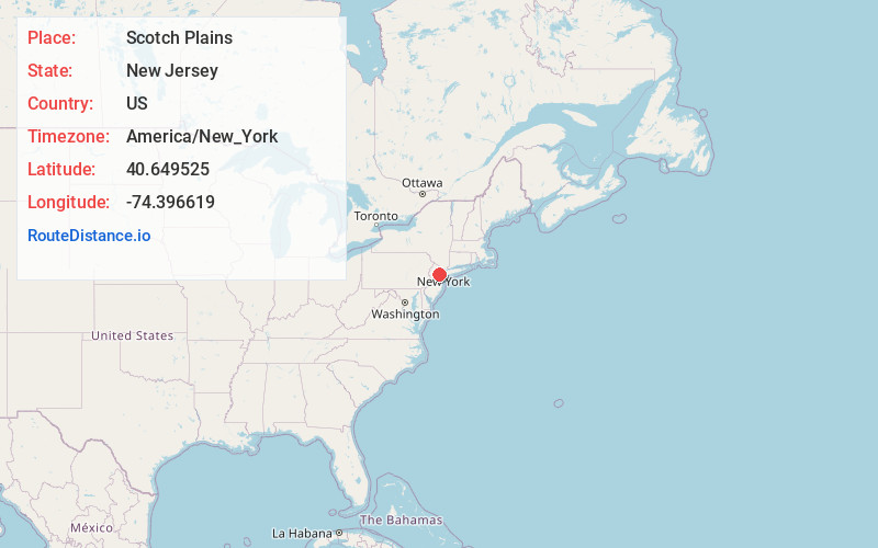
Full AddressScotch Plains, NJ
-
Coordinates40.6495254, -74.3966193
-
LocationScotch Plains , New Jersey , US
-
TimezoneAmerica/New_York
-
Current Local Time8:57:07 PM America/New_YorkTuesday, June 17, 2025
-
Website
-
Page Views1
About Scotch Plains
Scotch Plains is a township in Union County, in the U.S. state of New Jersey. The township is located on a ridge in northern-central New Jersey, within the Raritan Valley and Rahway Valley regions in the New York metropolitan area.


Nearby Places
Found 10 places within 50 miles

Westfield
2.4 mi
3.9 km
Westfield, NJ
Get directions

Plainfield
2.4 mi
3.9 km
Plainfield, NJ
Get directions

Rahway
6.4 mi
10.3 km
Rahway, NJ
Get directions

Union
7.4 mi
11.9 km
Union, NJ
Get directions

Woodbridge Township
7.8 mi
12.6 km
Woodbridge Township, NJ
Get directions

Piscataway
8.0 mi
12.9 km
Piscataway, NJ 08854
Get directions

Linden
8.2 mi
13.2 km
Linden, NJ
Get directions

Maplewood
9.0 mi
14.5 km
Maplewood, NJ
Get directions

Edison
9.2 mi
14.8 km
Edison, NJ
Get directions

Bernards
9.5 mi
15.3 km
Bernards, NJ
Get directions
Location Links
Local Weather
Weather Information
Coming soon!
Location Map
Static map view of Scotch Plains, New Jersey
Browse Places by Distance
Places within specific distances from Scotch Plains
Short Distances
Long Distances
Click any distance to see all places within that range from Scotch Plains. Distances shown in miles (1 mile ≈ 1.61 kilometers).