Distance to Scotchtown, New York

Calculating Your Route
Just a moment while we process your request...
Location Information
-
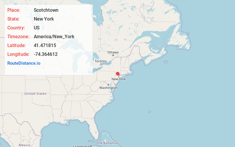
Full AddressScotchtown, NY 10941
-
Coordinates41.4718145, -74.3646122
-
LocationScotchtown , New York , US
-
TimezoneAmerica/New_York
-
Current Local Time1:12:20 AM America/New_YorkWednesday, June 25, 2025
-
Page Views0
About Scotchtown
Scotchtown is a hamlet in the Town of Wallkill, in Orange County, New York, United States. The population was 10,578 at the 2020 census. It has the ZIP Code 10941. The hamlet is located east of the City of Middletown.

Nearby Places
Found 10 places within 50 miles

Middletown
3.5 mi
5.6 km
Middletown, NY 10940
Get directions

Montgomery
7.7 mi
12.4 km
Montgomery, NY 12549
Get directions

Blooming Grove
8.9 mi
14.3 km
Blooming Grove, NY 10914
Get directions

Mamakating
10.0 mi
16.1 km
Mamakating, NY
Get directions

Wallkill
13.1 mi
21.1 km
Wallkill, NY 12589
Get directions

Kiryas Joel
13.6 mi
21.9 km
Kiryas Joel, NY
Get directions

Shawangunk
13.9 mi
22.4 km
Shawangunk, NY
Get directions

Woodbury
15.3 mi
24.6 km
Woodbury, NY
Get directions

Cornwall
17.4 mi
28.0 km
Cornwall, NY
Get directions

New Windsor
17.7 mi
28.5 km
New Windsor, NY 12553
Get directions
Location Links
Local Weather
Weather Information
Coming soon!
Location Map
Static map view of Scotchtown, New York
Browse Places by Distance
Places within specific distances from Scotchtown
Short Distances
Long Distances
Click any distance to see all places within that range from Scotchtown. Distances shown in miles (1 mile ≈ 1.61 kilometers).