Distance to Scotland, Arkansas

Calculating Your Route
Just a moment while we process your request...
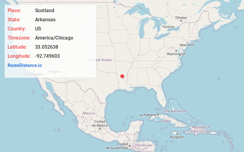
Location Information
-
Full AddressScotland, AR 71749
-
Coordinates33.0526379, -92.7496033
-
LocationArkansas , US
-
TimezoneAmerica/Chicago
-
Current Local Time3:36:42 PM America/ChicagoThursday, June 19, 2025
-
Page Views0
About Scotland
Scotland is an unincorporated community in southwestern Van Buren County, Arkansas, United States, near the head of the South Fork of the Little Red River. In April 2010, a tornado struck this community which resulted in extreme damage.
Nearby Places
Found 10 places within 50 miles

Cornie
1.7 mi
2.7 km
Cornie, AR 71749
Get directions

Junction City
2.9 mi
4.7 km
Junction City, AR 71749
Get directions

Junction City
3.1 mi
5.0 km
Junction City, LA 71256
Get directions
Wesson
4.4 mi
7.1 km
Wesson, AR 71749
Get directions
Foster Hill
5.1 mi
8.2 km
Foster Hill, AR 71730
Get directions
Catesville
6.1 mi
9.8 km
Catesville, AR 71730
Get directions

Newell
7.8 mi
12.6 km
Newell, AR 71730
Get directions
Parkers Chapel
8.4 mi
13.5 km
Parkers Chapel, AR 71730
Get directions
Lillie
9.9 mi
15.9 km
Lillie, LA 71256
Get directions
Lockhart
10.1 mi
16.3 km
Lockhart, LA 71277
Get directions
Location Links
Local Weather
Weather Information
Coming soon!
Location Map
Static map view of Scotland, Arkansas
Browse Places by Distance
Places within specific distances from Scotland
Short Distances
Long Distances
Click any distance to see all places within that range from Scotland. Distances shown in miles (1 mile ≈ 1.61 kilometers).