Distance to Scott, Oklahoma

Calculating Your Route
Just a moment while we process your request...
Location Information
-
Full AddressScott, OK 73047
-
Coordinates35.3767219, -98.236444
-
LocationOklahoma , US
-
TimezoneAmerica/Chicago
-
Current Local Time8:49:50 AM America/ChicagoWednesday, June 18, 2025
-
Page Views0
About Scott
Scott is an unincorporated community in west-central Oklahoma located on the Caddo - Canadian county line, 7.5 miles east-northeast of Lookeba. The town is old enough to appear on a 1911 Rand McNally map of the county.
In 1981, a violent wedge tornado struck Scott directly causing major damage.
Nearby Places
Found 10 places within 50 miles

Lookeba
7.4 mi
11.9 km
Lookeba, OK 73053
Get directions

Binger
7.6 mi
12.2 km
Binger, OK 73009
Get directions

Hinton
9.4 mi
15.1 km
Hinton, OK 73047
Get directions

Gracemont
13.1 mi
21.1 km
Gracemont, OK 73042
Get directions

Albert
14.0 mi
22.5 km
Albert, OK 73038
Get directions
Dutton
14.4 mi
23.2 km
Dutton, OK 73059
Get directions

Bridgeport
14.4 mi
23.2 km
Bridgeport, OK 73047
Get directions

Union City
16.7 mi
26.9 km
Union City, OK
Get directions

Calumet
16.9 mi
27.2 km
Calumet, OK 73014
Get directions
Minco
17.0 mi
27.4 km
Minco, OK
Get directions
Location Links
Local Weather
Weather Information
Coming soon!
Location Map
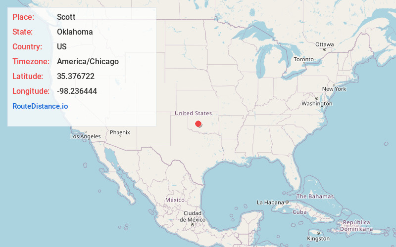
Static map view of Scott, Oklahoma
Browse Places by Distance
Places within specific distances from Scott
Short Distances
Long Distances
Click any distance to see all places within that range from Scott. Distances shown in miles (1 mile ≈ 1.61 kilometers).