Distance to Scottdale, Pennsylvania

Calculating Your Route
Just a moment while we process your request...
Location Information
-
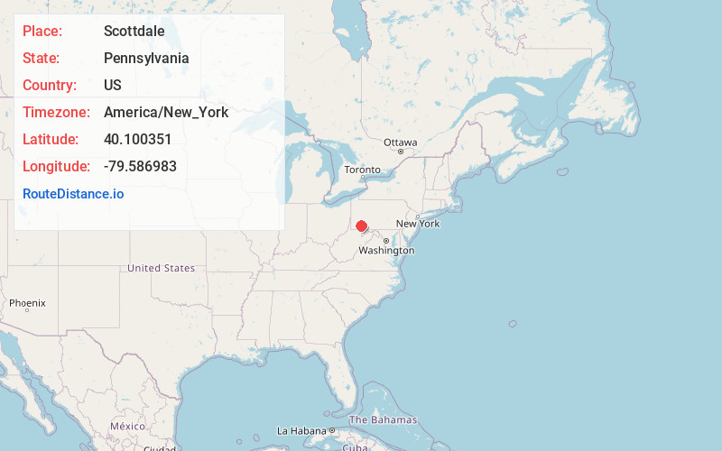
Full AddressScottdale, PA 15683
-
Coordinates40.1003506, -79.5869834
-
LocationScottdale , Pennsylvania , US
-
TimezoneAmerica/New_York
-
Current Local Time9:16:47 PM America/New_YorkWednesday, June 18, 2025
-
Website
-
Page Views0
About Scottdale
Scottdale is a borough in Westmoreland County, Pennsylvania, United States, 32 miles southeast of Pittsburgh.
Early in the 20th century, Scottdale was the center of the Frick coke interests.


Nearby Places
Found 10 places within 50 miles

East Huntingdon Township
3.1 mi
5.0 km
East Huntingdon Township, PA
Get directions

Mt Pleasant
4.1 mi
6.6 km
Mt Pleasant, PA 15666
Get directions

Bullskin Township
5.0 mi
8.0 km
Bullskin Township, PA
Get directions

Connellsville
5.7 mi
9.2 km
Connellsville, PA 15425
Get directions

South Huntingdon Township
5.8 mi
9.3 km
South Huntingdon Township, PA
Get directions

Dunbar
8.6 mi
13.8 km
Dunbar, PA 15431
Get directions
Rostraver Township
12.5 mi
20.1 km
Rostraver Township, PA
Get directions

North Union Township
14.0 mi
22.5 km
North Union Township, PA
Get directions

Greensburg
14.1 mi
22.7 km
Greensburg, PA 15601
Get directions

Donora
15.2 mi
24.5 km
Donora, PA 15033
Get directions
Location Links
Local Weather
Weather Information
Coming soon!
Location Map
Static map view of Scottdale, Pennsylvania
Browse Places by Distance
Places within specific distances from Scottdale
Short Distances
Long Distances
Click any distance to see all places within that range from Scottdale. Distances shown in miles (1 mile ≈ 1.61 kilometers).