Distance to Scottland, Alabama

Calculating Your Route
Just a moment while we process your request...
Location Information
-
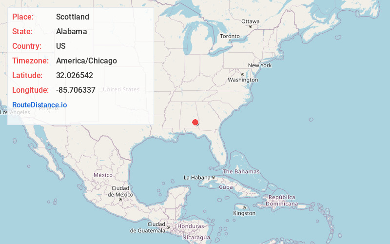
Full AddressScottland, AL 36089
-
Coordinates32.0265423, -85.7063365
-
LocationScottland , Alabama , US
-
TimezoneAmerica/Chicago
-
Current Local Time8:26:44 AM America/ChicagoMonday, June 23, 2025
-
Page Views0
Nearby Places
Found 10 places within 50 miles

Bullock County
2.4 mi
3.9 km
Bullock County, AL
Get directions

Inverness
2.5 mi
4.0 km
Inverness, AL 36089
Get directions
Jenkins Crossroads
4.0 mi
6.4 km
Jenkins Crossroads, AL 36089
Get directions
Smuteye
4.7 mi
7.6 km
Smuteye, AL 36005
Get directions
Pickett
5.8 mi
9.3 km
Pickett, AL 36005
Get directions
Omega
5.8 mi
9.3 km
Omega, AL 36089
Get directions

Union Springs
8.2 mi
13.2 km
Union Springs, AL 36089
Get directions
Saco
8.3 mi
13.4 km
Saco, AL 36081
Get directions
Jamback
8.4 mi
13.5 km
Jamback, AL 36005
Get directions
Almeria
8.4 mi
13.5 km
Almeria, AL 36089
Get directions
Location Links
Local Weather
Weather Information
Coming soon!
Location Map
Static map view of Scottland, Alabama
Browse Places by Distance
Places within specific distances from Scottland
Short Distances
Long Distances
Click any distance to see all places within that range from Scottland. Distances shown in miles (1 mile ≈ 1.61 kilometers).