Distance to Scotts Bluff National Monument, Nebraska

Calculating Your Route
Just a moment while we process your request...
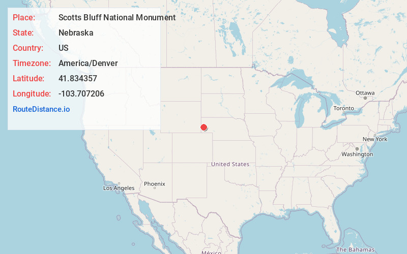
Location Information
-
Full AddressScotts Bluff National Monument, 190276 Old Oregon Trail, Gering, NE 69341
-
Coordinates41.8343571, -103.7072063
-
Street190276 Old Oregon Trail
-
LocationGering , Nebraska , US
-
TimezoneAmerica/Denver
-
Current Local Time4:51:06 AM America/DenverSunday, June 8, 2025
-
Website
-
Page Views0
About Scotts Bluff National Monument
Boasting remnants of the Oregon trail, this 3,000-acre park features unique rock formations.


Nearby Places
Found 10 places within 50 miles

Costin
2.4 mi
3.9 km
Costin, Mitchell Precinct, NE 69357
Get directions

Terrytown
2.5 mi
4.0 km
Terrytown, NE
Get directions

Gering
2.6 mi
4.2 km
Gering, NE 69341
Get directions

Scottsbluff
3.0 mi
4.8 km
Scottsbluff, NE 69361
Get directions
Heldt
3.7 mi
6.0 km
Heldt, West Winters Creek Precinct, NE 69361
Get directions
Haig
4.1 mi
6.6 km
Haig, NE 69357
Get directions
Covert
4.3 mi
6.9 km
Covert, West Winters Creek Precinct, NE 69361
Get directions
Enterprise Canal
4.6 mi
7.4 km
Enterprise Canal, Scottsbluff, NE 69361
Get directions
Hillerage
5.7 mi
9.2 km
Hillerage, East Winters Creek Precinct, NE 69361
Get directions
Trout
6.9 mi
11.1 km
Trout, East Winters Creek Precinct, NE 69361
Get directions
Location Links
Local Weather
Weather Information
Coming soon!
Location Map
Static map view of Scotts Bluff National Monument, Nebraska
Browse Places by Distance
Places within specific distances from Scotts Bluff National Monument
Short Distances
Long Distances
Click any distance to see all places within that range from Scotts Bluff National Monument. Distances shown in miles (1 mile ≈ 1.61 kilometers).