Distance to Scotts Ferry, Florida

Calculating Your Route
Just a moment while we process your request...
Location Information
-
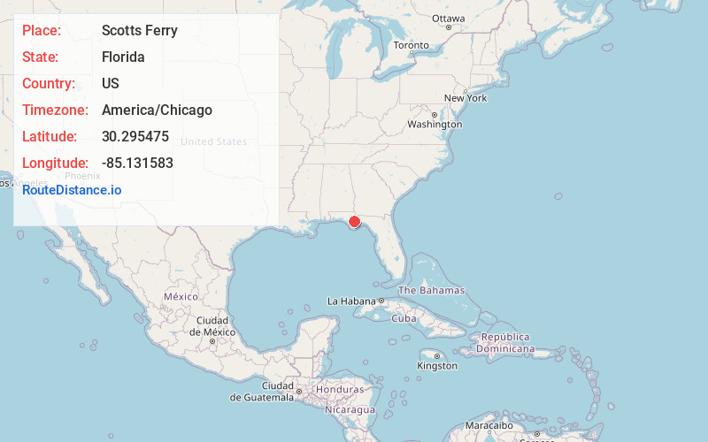
Full AddressScotts Ferry, FL 32424
-
Coordinates30.2954746, -85.1315834
-
LocationFlorida , US
-
TimezoneAmerica/Chicago
-
Current Local Time6:15:32 PM America/ChicagoTuesday, June 17, 2025
-
Page Views0
About Scotts Ferry
Scotts Ferry is an unincorporated community in Calhoun County, Florida, United States. It is located on State Road 71.
Nearby Places
Found 10 places within 50 miles

Kinard
8.0 mi
12.9 km
Kinard, FL 32449
Get directions
Woods
9.7 mi
15.6 km
Woods, FL 32321
Get directions
Broad Branch
9.8 mi
15.8 km
Broad Branch, FL 32449
Get directions
Iola
10.3 mi
16.6 km
Iola, FL 32465
Get directions

Blountstown
11.5 mi
18.5 km
Blountstown, FL 32424
Get directions

Bristol
13.2 mi
21.2 km
Bristol, FL 32321
Get directions

Wewahitchka
13.3 mi
21.4 km
Wewahitchka, FL 32465
Get directions
Wilma
14.0 mi
22.5 km
Wilma, FL 32321
Get directions
Bon Ami
15.2 mi
24.5 km
Bon Ami, FL 32321
Get directions

Chason
16.9 mi
27.2 km
Chason, FL 32421
Get directions
Location Links
Local Weather
Weather Information
Coming soon!
Location Map
Static map view of Scotts Ferry, Florida
Browse Places by Distance
Places within specific distances from Scotts Ferry
Short Distances
Long Distances
Click any distance to see all places within that range from Scotts Ferry. Distances shown in miles (1 mile ≈ 1.61 kilometers).