Distance to and from Scottsville, Texas
Scottsville, TX 75672
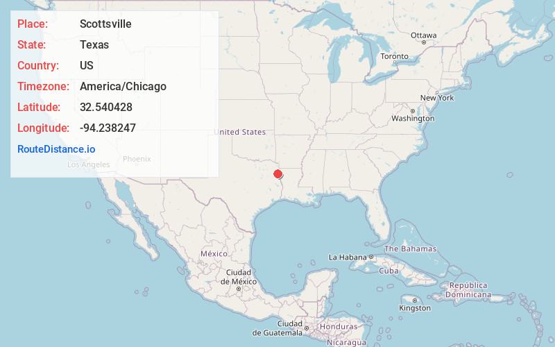
Scottsville
Texas
US
America/Chicago
Location Information
-
Full AddressScottsville, TX 75672
-
Coordinates32.5404281, -94.2382471
-
LocationScottsville , Texas , US
-
TimezoneAmerica/Chicago
-
Current Local Time4:13:26 PM America/ChicagoWednesday, May 7, 2025
-
Page Views0
Directions to Nearest Cities
About Scottsville
Scottsville is a city in Harrison County, Texas, United States. The population was 376 at the 2010 census, up from 263 at the 2000 census. Scottsville's population in 2020 decreased to 334.


Nearby Places
Found 10 places within 50 miles

Marshall
7.5 mi
12.1 km
Marshall, TX
Get directions

Waskom
11.2 mi
18.0 km
Waskom, TX 75692
Get directions

Jefferson
16.2 mi
26.1 km
Jefferson, TX 75657
Get directions

Greenwood
16.9 mi
27.2 km
Greenwood, LA
Get directions

Mooringsport
19.1 mi
30.7 km
Mooringsport, LA 71060
Get directions

Hallsville
19.7 mi
31.7 km
Hallsville, TX 75650
Get directions

Blanchard
20.3 mi
32.7 km
Blanchard, LA
Get directions

Oil City
20.9 mi
33.6 km
Oil City, LA 71061
Get directions

Tatum
22.5 mi
36.2 km
Tatum, TX
Get directions

Easton
22.7 mi
36.5 km
Easton, TX
Get directions
Marshall
7.5 mi
12.1 km
Marshall, TX
Waskom
11.2 mi
18.0 km
Waskom, TX 75692
Jefferson
16.2 mi
26.1 km
Jefferson, TX 75657
Greenwood
16.9 mi
27.2 km
Greenwood, LA
Mooringsport
19.1 mi
30.7 km
Mooringsport, LA 71060
Hallsville
19.7 mi
31.7 km
Hallsville, TX 75650
Blanchard
20.3 mi
32.7 km
Blanchard, LA
Oil City
20.9 mi
33.6 km
Oil City, LA 71061
Tatum
22.5 mi
36.2 km
Tatum, TX
Easton
22.7 mi
36.5 km
Easton, TX
Location Links
Local Weather
Weather Information
Coming soon!
Location Map
Static map view of Scottsville, Texas
Browse Places by Distance
Places within specific distances from Scottsville
Short Distances
Long Distances
Click any distance to see all places within that range from Scottsville. Distances shown in miles (1 mile ≈ 1.61 kilometers).