Distance to Scuffletown, Virginia

Calculating Your Route
Just a moment while we process your request...
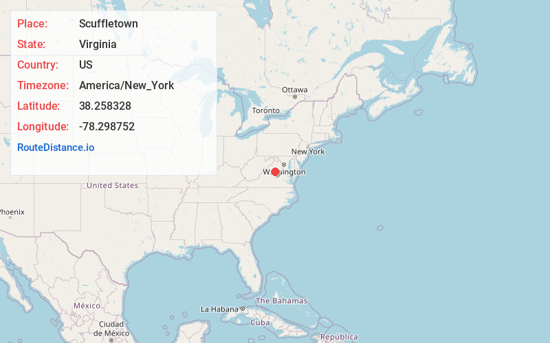
Location Information
-
Full AddressScuffletown, VA 22923
-
Coordinates38.258328, -78.2987519
-
LocationScuffletown , Virginia , US
-
TimezoneAmerica/New_York
-
Current Local Time5:25:02 AM America/New_YorkWednesday, June 18, 2025
-
Page Views0
About Scuffletown
Scuffletown is an unincorporated community in Orange County, Virginia. It lies at an elevation of 571 feet.
It is located in the far northwestern section of the county, about eight miles north of Barboursville.
Nearby Places
Found 10 places within 50 miles

Rochelle
2.6 mi
4.2 km
Rochelle, VA 22738
Get directions

Albano
3.5 mi
5.6 km
Albano, VA 22923
Get directions

Eheart
4.0 mi
6.4 km
Eheart, VA 22923
Get directions

Ruckersville
4.2 mi
6.8 km
Ruckersville, VA 22968
Get directions
Shelby
4.4 mi
7.1 km
Shelby, VA 22738
Get directions
Repton Mills
5.0 mi
8.0 km
Repton Mills, VA 22709
Get directions
Tibbstown
5.6 mi
9.0 km
Tibbstown, VA 22942
Get directions
Barboursville
6.1 mi
9.8 km
Barboursville, VA
Get directions
Radiant
6.3 mi
10.1 km
Radiant, VA 22732
Get directions
Pratts
6.4 mi
10.3 km
Pratts, VA 22727
Get directions
Location Links
Local Weather
Weather Information
Coming soon!
Location Map
Static map view of Scuffletown, Virginia
Browse Places by Distance
Places within specific distances from Scuffletown
Short Distances
Long Distances
Click any distance to see all places within that range from Scuffletown. Distances shown in miles (1 mile ≈ 1.61 kilometers).