Distance to SE Ree, Kentucky

Calculating Your Route
Just a moment while we process your request...
Location Information
-
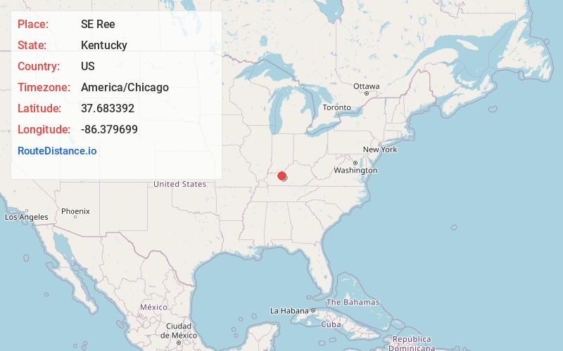
Full AddressSE Ree, KY 40144
-
Coordinates37.6833918, -86.3796987
-
LocationSE Ree , Kentucky , US
-
TimezoneAmerica/Chicago
-
Current Local Time2:39:46 PM America/ChicagoMonday, June 2, 2025
-
Page Views0
About SE Ree
Se Ree is an unincorporated community within Breckinridge County, Kentucky, United States.
The community had a post office that closed on January 3, 2004.
Nearby Places
Found 10 places within 50 miles

Locust Hill
3.3 mi
5.3 km
Locust Hill, KY 40144
Get directions
McCoy
4.5 mi
7.2 km
McCoy, KY 42754
Get directions

McDaniels
5.8 mi
9.3 km
McDaniels, KY 42754
Get directions
Hudson
6.1 mi
9.8 km
Hudson, KY 40145
Get directions
Kirk
6.1 mi
9.8 km
Kirk, KY 40143
Get directions
Graysville
7.6 mi
12.2 km
Graysville, KY 40146
Get directions
Horn Back Mill
7.7 mi
12.4 km
Horn Back Mill, KY 42754
Get directions
McQuady
7.8 mi
12.6 km
McQuady, KY 40119
Get directions

Hardinsburg
8.0 mi
12.9 km
Hardinsburg, KY
Get directions
Rosetta
9.8 mi
15.8 km
Rosetta, KY 40146
Get directions
Location Links
Local Weather
Weather Information
Coming soon!
Location Map
Static map view of SE Ree, Kentucky
Browse Places by Distance
Places within specific distances from SE Ree
Short Distances
Long Distances
Click any distance to see all places within that range from SE Ree. Distances shown in miles (1 mile ≈ 1.61 kilometers).