Distance to Seabrook Island, South Carolina

Calculating Your Route
Just a moment while we process your request...
Location Information
-
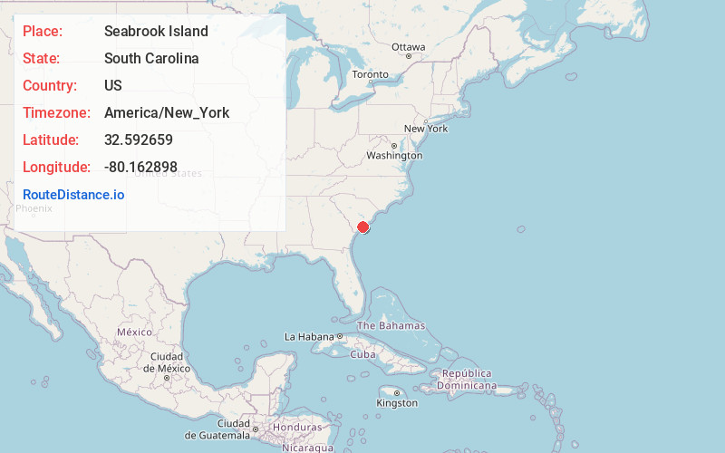
Full AddressSeabrook Island, SC
-
Coordinates32.5926586, -80.1628976
-
LocationSeabrook Island , South Carolina , US
-
TimezoneAmerica/New_York
-
Current Local Time3:32:21 AM America/New_YorkSaturday, June 21, 2025
-
Website
-
Page Views0
About Seabrook Island
Seabrook Island, formerly known as Simmons Island, is a barrier island in Charleston County, South Carolina, United States. The population was 1,714 at the 2010 census, up from 1,250 in 2000.
Seabrook Island is part of the Charleston-North Charleston-Summerville metropolitan area.


Nearby Places
Found 10 places within 50 miles

Kiawah Island
6.6 mi
10.6 km
Kiawah Island, SC
Get directions

Hollywood
10.8 mi
17.4 km
Hollywood, SC
Get directions

Ravenel
13.6 mi
21.9 km
Ravenel, SC
Get directions

James Island
15.6 mi
25.1 km
James Island, SC 29412
Get directions

Charleston
18.8 mi
30.3 km
Charleston, SC
Get directions

North Charleston
21.4 mi
34.4 km
North Charleston, SC
Get directions

Mt Pleasant
21.5 mi
34.6 km
Mt Pleasant, SC
Get directions

Hanahan
25.1 mi
40.4 km
Hanahan, SC
Get directions

Ladson
27.3 mi
43.9 km
Ladson, SC
Get directions

Isle of Palms
27.5 mi
44.3 km
Isle of Palms, SC
Get directions
Location Links
Local Weather
Weather Information
Coming soon!
Location Map
Static map view of Seabrook Island, South Carolina
Browse Places by Distance
Places within specific distances from Seabrook Island
Short Distances
Long Distances
Click any distance to see all places within that range from Seabrook Island. Distances shown in miles (1 mile ≈ 1.61 kilometers).