Distance to Seal Rock, Washington

Calculating Your Route
Just a moment while we process your request...
Location Information
-
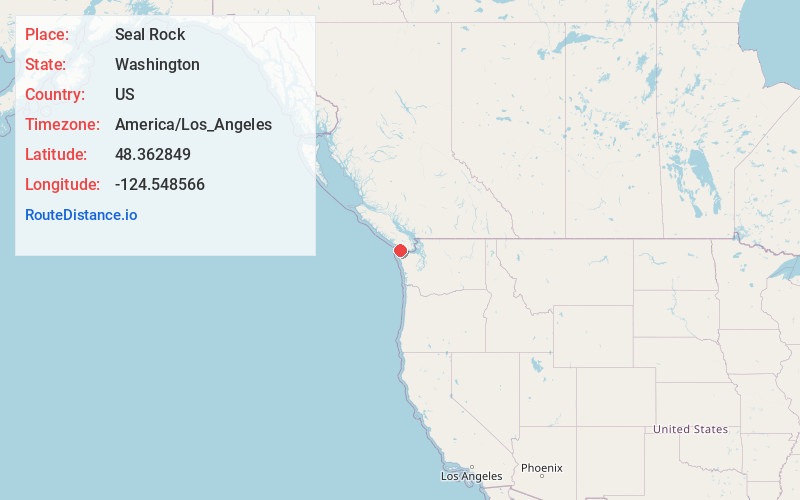
Full AddressSeal Rock, Washington
-
Coordinates48.3628485, -124.548566
-
LocationWashington , US
-
TimezoneAmerica/Los_Angeles
-
Current Local Time10:40:09 AM America/Los_AngelesWednesday, June 18, 2025
-
Page Views0


Nearby Places
Found 10 places within 50 miles

Neah Bay
3.5 mi
5.6 km
Neah Bay, WA 98357
Get directions

Sekiu
13.3 mi
21.4 km
Sekiu, WA 98381
Get directions

Old Royal
13.3 mi
21.4 km
Old Royal, WA 98326
Get directions

Clallam Bay
15.3 mi
24.6 km
Clallam Bay, WA 98326
Get directions

Ozette
15.4 mi
24.8 km
Ozette, WA 98326
Get directions

Pysht
22.9 mi
36.9 km
Pysht, WA 98326
Get directions

Beaver
23.0 mi
37.0 km
Beaver, WA 98305
Get directions

Sappho
23.7 mi
38.1 km
Sappho, WA 98363
Get directions
Shuwah
24.8 mi
39.9 km
Shuwah, WA 98331
Get directions

Forks
29.5 mi
47.5 km
Forks, WA 98331
Get directions
Location Links
Local Weather
Weather Information
Coming soon!
Location Map
Static map view of Seal Rock, Washington
Browse Places by Distance
Places within specific distances from Seal Rock
Short Distances
Long Distances
Click any distance to see all places within that range from Seal Rock. Distances shown in miles (1 mile ≈ 1.61 kilometers).