Distance to Sealevel, North Carolina

Calculating Your Route
Just a moment while we process your request...
Location Information
-
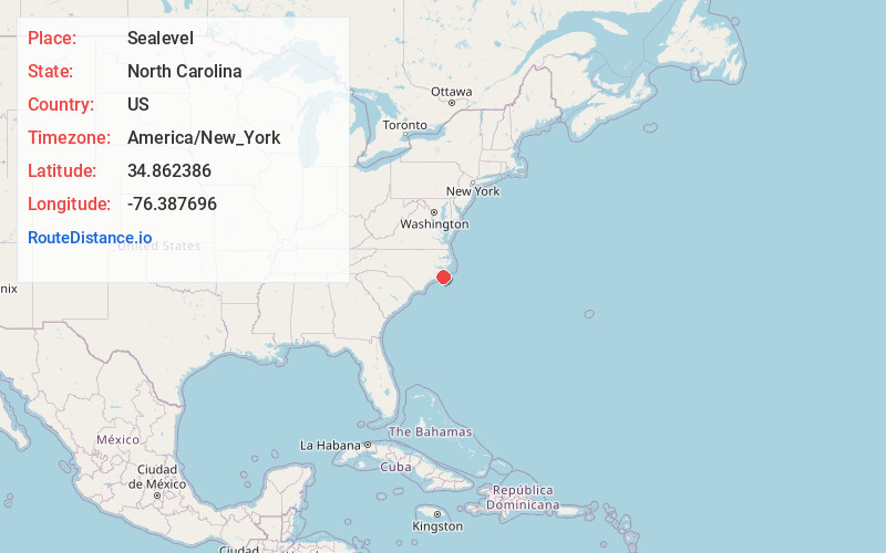
Full AddressSealevel, NC 28577
-
Coordinates34.8623857, -76.3876956
-
LocationSealevel , North Carolina , US
-
TimezoneAmerica/New_York
-
Current Local Time4:13:29 AM America/New_YorkTuesday, June 3, 2025
-
Page Views0
About Sealevel
Sea Level, also spelled Sealevel, is an unincorporated community in Carteret County, North Carolina, United States.
Nearby Places
Found 10 places within 50 miles

Atlantic
3.1 mi
5.0 km
Atlantic, NC 28511
Get directions

Davis
6.1 mi
9.8 km
Davis, NC 28524
Get directions

Otway
11.4 mi
18.3 km
Otway, NC 28516
Get directions

Marshallberg
11.8 mi
19.0 km
Marshallberg, NC 28553
Get directions

Gloucester
12.8 mi
20.6 km
Gloucester, NC 28528
Get directions

Harkers Island
15.1 mi
24.3 km
Harkers Island, NC 28531
Get directions
Great Neck
16.9 mi
27.2 km
Great Neck, NC 28532
Get directions

Beaufort
18.6 mi
29.9 km
Beaufort, NC
Get directions

Oriental
20.8 mi
33.5 km
Oriental, NC 28571
Get directions
Whortonsville
21.1 mi
34.0 km
Whortonsville, NC 28556
Get directions
Location Links
Local Weather
Weather Information
Coming soon!
Location Map
Static map view of Sealevel, North Carolina
Browse Places by Distance
Places within specific distances from Sealevel
Short Distances
Long Distances
Click any distance to see all places within that range from Sealevel. Distances shown in miles (1 mile ≈ 1.61 kilometers).