Distance to and from Seals, Georgia
Seals, GA 31569
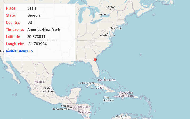
Georgia
US
America/New_York
Location Information
-
Full AddressSeals, GA 31569
-
Coordinates30.8730109, -81.7039939
-
LocationGeorgia , US
-
TimezoneAmerica/New_York
-
Current Local Time5:28:41 PM America/New_YorkSaturday, May 3, 2025
-
Page Views0
Directions to Nearest Cities
About Seals
Seals is an unincorporated location in Camden County in the state of Georgia, United States.
Its position is at 30°52′22″N 81°42′15″W at an elevation of 21 feet.
It is located at the point where the Old Jefferson Highway meets the railway line, just east of Floyd Hammock.
Nearby Places
Found 10 places within 50 miles

Kingsland
5.1 mi
8.2 km
Kingsland, GA
Get directions

Woodbine
6.1 mi
9.8 km
Woodbine, GA
Get directions

St Marys
11.7 mi
18.8 km
St Marys, GA
Get directions

Waverly
15.4 mi
24.8 km
Waverly, GA 31565
Get directions

Yulee
17.6 mi
28.3 km
Yulee, FL
Get directions

Hilliard
17.8 mi
28.6 km
Hilliard, FL
Get directions

Folkston
18.4 mi
29.6 km
Folkston, GA 31537
Get directions
Homeland
18.8 mi
30.3 km
Homeland, GA 31537
Get directions

Callahan
22.8 mi
36.7 km
Callahan, FL 32011
Get directions

Brunswick
23.1 mi
37.2 km
Brunswick, GA
Get directions
Kingsland
5.1 mi
8.2 km
Kingsland, GA
Woodbine
6.1 mi
9.8 km
Woodbine, GA
St Marys
11.7 mi
18.8 km
St Marys, GA
Waverly
15.4 mi
24.8 km
Waverly, GA 31565
Yulee
17.6 mi
28.3 km
Yulee, FL
Hilliard
17.8 mi
28.6 km
Hilliard, FL
Folkston
18.4 mi
29.6 km
Folkston, GA 31537
Homeland
18.8 mi
30.3 km
Homeland, GA 31537
Callahan
22.8 mi
36.7 km
Callahan, FL 32011
Brunswick
23.1 mi
37.2 km
Brunswick, GA
Location Links
Local Weather
Weather Information
Coming soon!
Location Map
Static map view of Seals, Georgia
Browse Places by Distance
Places within specific distances from Seals
Short Distances
Long Distances
Click any distance to see all places within that range from Seals. Distances shown in miles (1 mile ≈ 1.61 kilometers).