Distance to Sears Point, California

Calculating Your Route
Just a moment while we process your request...
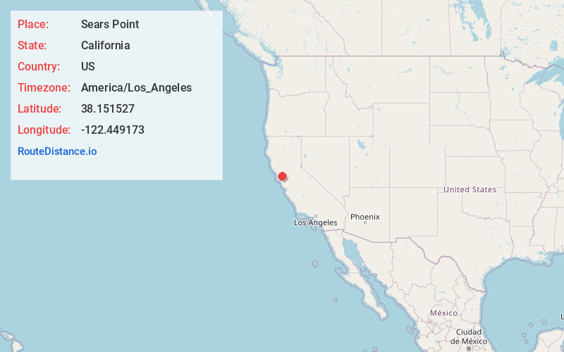
Location Information
-
Full AddressSears Point, CA 95476
-
Coordinates38.151527, -122.449173
-
LocationSears Point , California , US
-
TimezoneAmerica/Los_Angeles
-
Current Local Time12:14:07 PM America/Los_AngelesWednesday, June 18, 2025
-
Page Views0
About Sears Point
Sears Point is a prominent landform that juts into the San Pablo Bay in Sonoma County, California, United States. This hill is the southernmost peak of the Sonoma Mountains and forms the southwestern ridge above Tolay Lake.


Nearby Places
Found 10 places within 50 miles

Fairville
1.8 mi
2.9 km
Fairville, CA 95476
Get directions
McGill
3.3 mi
5.3 km
McGill, CA 95476
Get directions

Wingo
4.2 mi
6.8 km
Wingo, CA 95476
Get directions

Black Point-Green Point
4.5 mi
7.2 km
Black Point-Green Point, CA 94945
Get directions
Merazo
6.2 mi
10.0 km
Merazo, CA 95476
Get directions

Lakeville
6.2 mi
10.0 km
Lakeville, CA 94954
Get directions
Burdell
6.3 mi
10.1 km
Burdell, CA 94945
Get directions

Schellville
6.5 mi
10.5 km
Schellville, CA 95476
Get directions

Novato
7.2 mi
11.6 km
Novato, CA
Get directions

Temelec
7.7 mi
12.4 km
Temelec, CA 95476
Get directions
Location Links
Local Weather
Weather Information
Coming soon!
Location Map
Static map view of Sears Point, California
Browse Places by Distance
Places within specific distances from Sears Point
Short Distances
Long Distances
Click any distance to see all places within that range from Sears Point. Distances shown in miles (1 mile ≈ 1.61 kilometers).