Distance to Sebeka, Minnesota

Calculating Your Route
Just a moment while we process your request...
Location Information
-
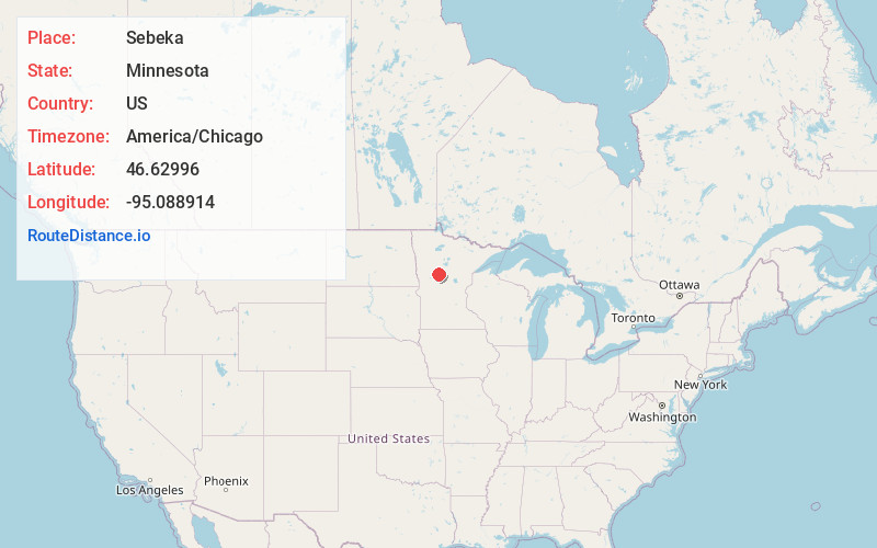
Full AddressSebeka, MN 56477
-
Coordinates46.6299599, -95.0889136
-
LocationSebeka , Minnesota , US
-
TimezoneAmerica/Chicago
-
Current Local Time1:36:15 AM America/ChicagoThursday, June 19, 2025
-
Website
-
Page Views0
About Sebeka
Sebeka is a city in Wadena County, Minnesota, United States. Its population was 711 at the 2010 census. The name comes from an Ojibwe word meaning "town by the water".
U.S. Highway 71, State Highway 227, and the historic Jefferson Highway, are three of the main routes in the city.
Nearby Places
Found 10 places within 50 miles

Menahga
8.3 mi
13.4 km
Menahga, MN 56464
Get directions

Wadena
13.1 mi
21.1 km
Wadena, MN 56482
Get directions

New York Mills
15.7 mi
25.3 km
New York Mills, MN 56567
Get directions

Park Rapids
20.2 mi
32.5 km
Park Rapids, MN 56470
Get directions

Perham
23.1 mi
37.2 km
Perham, MN 56573
Get directions

Staples
23.6 mi
38.0 km
Staples, MN 56479
Get directions

Henning
27.2 mi
43.8 km
Henning, MN 56551
Get directions

Frazee
29.8 mi
48.0 km
Frazee, MN 56544
Get directions

Pine River
33.0 mi
53.1 km
Pine River, MN
Get directions

Parkers Prairie
34.8 mi
56.0 km
Parkers Prairie, MN 56361
Get directions
Location Links
Local Weather
Weather Information
Coming soon!
Location Map
Static map view of Sebeka, Minnesota
Browse Places by Distance
Places within specific distances from Sebeka
Short Distances
Long Distances
Click any distance to see all places within that range from Sebeka. Distances shown in miles (1 mile ≈ 1.61 kilometers).