Distance to Seboyeta, New Mexico

Calculating Your Route
Just a moment while we process your request...
Location Information
-
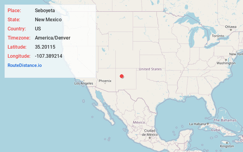
Full AddressSeboyeta, NM 87040
-
Coordinates35.2011501, -107.3892143
-
LocationSeboyeta , New Mexico , US
-
TimezoneAmerica/Denver
-
Current Local Time3:09:47 PM America/DenverSaturday, June 28, 2025
-
Page Views0
About Seboyeta
Seboyeta is a census-designated place in Cibola County, New Mexico, United States. Its population was 179 as of the 2010 census. Seboyeta had a post office from February 5, 1885, to January 7, 1995.


Nearby Places
Found 10 places within 50 miles

Acomita Lake
15.6 mi
25.1 km
Acomita Lake, NM
Get directions
Skyline-Ganipa
16.9 mi
27.2 km
Skyline-Ganipa, NM
Get directions

McCartys Village
18.5 mi
29.8 km
McCartys Village, NM
Get directions
San Rafael
28.5 mi
45.9 km
San Rafael, NM
Get directions

Prewitt
38.6 mi
62.1 km
Prewitt, NM
Get directions

Rio Rancho
41.1 mi
66.1 km
Rio Rancho, NM
Get directions

Los Ranchos De Albuquerque
42.2 mi
67.9 km
Los Ranchos De Albuquerque, NM
Get directions

South Valley
42.3 mi
68.1 km
South Valley, NM
Get directions

Albuquerque
42.5 mi
68.4 km
Albuquerque, NM
Get directions

San Ysidro
42.9 mi
69.0 km
San Ysidro, NM 87053
Get directions
Location Links
Local Weather
Weather Information
Coming soon!
Location Map
Static map view of Seboyeta, New Mexico
Browse Places by Distance
Places within specific distances from Seboyeta
Short Distances
Long Distances
Click any distance to see all places within that range from Seboyeta. Distances shown in miles (1 mile ≈ 1.61 kilometers).