Distance to Second Mesa, Arizona

Calculating Your Route
Just a moment while we process your request...
Location Information
-
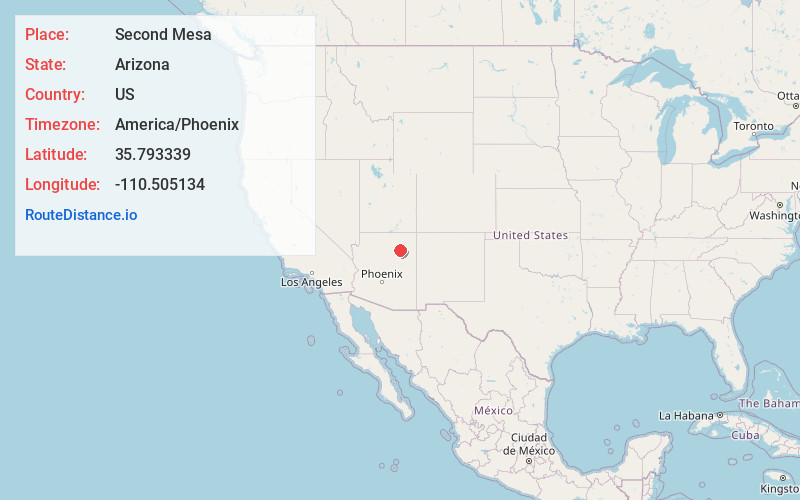
Full AddressSecond Mesa, AZ 86043
-
Coordinates35.7933387, -110.505134
-
LocationSecond Mesa , Arizona , US
-
TimezoneAmerica/Phoenix
-
Current Local Time11:11:16 PM America/PhoenixMonday, June 2, 2025
-
Page Views0
About Second Mesa
Second Mesa is a census-designated place in Navajo County, Arizona, on the Hopi Reservation, atop the 5,700-foot mesa. As of the 2020 census, the CDP population was 843, spread among three Hopi Indian villages, Musungnuvi, Supawlavi, and Songoopavi. The Hopi Cultural Center is on Second Mesa.


Nearby Places


Location Links
Local Weather
Weather Information
Coming soon!
Location Map
Static map view of Second Mesa, Arizona
Browse Places by Distance
Places within specific distances from Second Mesa
Short Distances
Long Distances
Click any distance to see all places within that range from Second Mesa. Distances shown in miles (1 mile ≈ 1.61 kilometers).