Distance to Seivern, South Carolina

Calculating Your Route
Just a moment while we process your request...
Location Information
-
Full AddressSeivern, SC 29164
-
Coordinates33.7151489, -81.4098248
-
LocationSeivern , South Carolina , US
-
TimezoneAmerica/New_York
-
Current Local Time3:44:09 PM America/New_YorkFriday, June 20, 2025
-
Page Views0
Nearby Places
Found 10 places within 50 miles

Fairview Crossroads
3.9 mi
6.3 km
Fairview Crossroads, SC 29070
Get directions

Steedman
5.1 mi
8.2 km
Steedman, SC 29006
Get directions

Wagener
5.2 mi
8.4 km
Wagener, SC 29164
Get directions
Camp Rawls
5.8 mi
9.3 km
Camp Rawls, SC 29164
Get directions
Perry
8.3 mi
13.4 km
Perry, SC
Get directions
Jones Crossroads
8.5 mi
13.7 km
Jones Crossroads, SC 29105
Get directions

Samaria
8.6 mi
13.8 km
Samaria, SC 29006
Get directions
Thor
8.7 mi
14.0 km
Thor, SC 29123
Get directions
Chinquapin Falls
10.0 mi
16.1 km
Chinquapin Falls, SC 29006
Get directions

Pelion
10.0 mi
16.1 km
Pelion, SC 29123
Get directions
Location Links
Local Weather
Weather Information
Coming soon!
Location Map
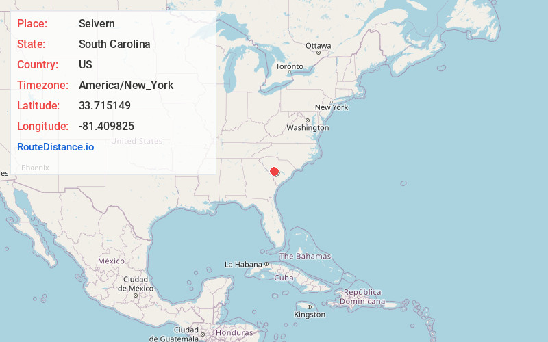
Static map view of Seivern, South Carolina
Browse Places by Distance
Places within specific distances from Seivern
Short Distances
Long Distances
Click any distance to see all places within that range from Seivern. Distances shown in miles (1 mile ≈ 1.61 kilometers).