Distance to Seminole County, Florida

Calculating Your Route
Just a moment while we process your request...
Location Information
-
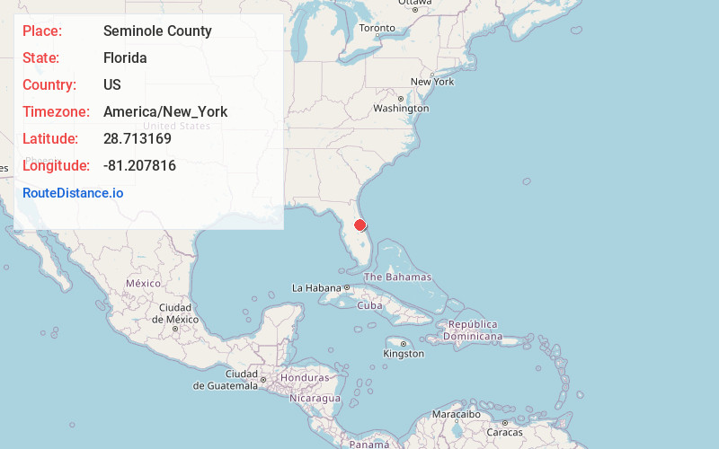
Full AddressSeminole County, FL
-
Coordinates28.7131688, -81.2078164
-
LocationFlorida , US
-
TimezoneAmerica/New_York
-
Current Local Time11:40:26 AM America/New_YorkSunday, June 1, 2025
-
Page Views0
About Seminole County
Seminole County is a county located in the central portion of the U.S. state of Florida. As of the 2020 census, the population was 470,856, making it the 13th-most populated county in Florida. Its county seat and largest city is Sanford.


Nearby Places
Found 10 places within 50 miles

Jones Landing
0.6 mi
1.0 km
Jones Landing, Black Hammock, FL 32765
Get directions
Neheb
1.5 mi
2.4 km
Neheb, Black Hammock, FL 32765
Get directions

Whites Landing
2.1 mi
3.4 km
Whites Landing, FL 32765
Get directions

Oviedo
3.0 mi
4.8 km
Oviedo, FL
Get directions
Cameron City
3.1 mi
5.0 km
Cameron City, FL 32773
Get directions
Wagner
4.5 mi
7.2 km
Wagner, Winter Springs, FL 32708
Get directions
Slavia
4.7 mi
7.6 km
Slavia, FL 32765
Get directions
Beck Hammock
5.1 mi
8.2 km
Beck Hammock, FL 32771
Get directions
Canaan
5.4 mi
8.7 km
Canaan, Sanford, FL 32771
Get directions
Elder Springs
5.5 mi
8.9 km
Elder Springs, FL 32773
Get directions
Location Links
Local Weather
Weather Information
Coming soon!
Location Map
Static map view of Seminole County, Florida
Browse Places by Distance
Places within specific distances from Seminole County
Short Distances
Long Distances
Click any distance to see all places within that range from Seminole County. Distances shown in miles (1 mile ≈ 1.61 kilometers).