Distance to Seneca, Oregon

Calculating Your Route
Just a moment while we process your request...
Location Information
-
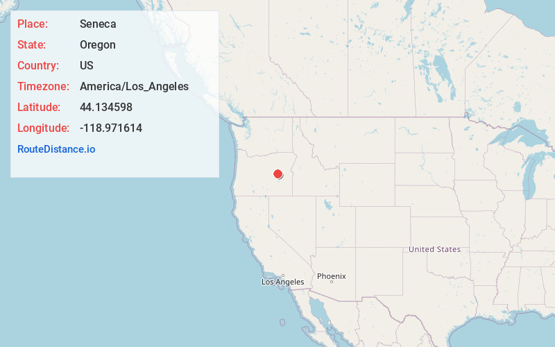
Full AddressSeneca, OR 97873
-
Coordinates44.1345979, -118.9716139
-
LocationSeneca , Oregon , US
-
TimezoneAmerica/Los_Angeles
-
Current Local Time9:31:20 PM America/Los_AngelesFriday, June 20, 2025
-
Page Views0
About Seneca
Seneca is a city in Grant County, Oregon, United States. It is located in the Blue Mountains about 23 miles south of Canyon City, on U.S. Route 395, on the edge of the Malheur National Forest. The population was 199 at the 2010 census.


Nearby Places
Found 8 places within 50 miles

Canyon City
17.7 mi
28.5 km
Canyon City, OR 97820
Get directions

John Day
19.5 mi
31.4 km
John Day, OR 97845
Get directions

Mt Vernon
20.8 mi
33.5 km
Mt Vernon, OR 97865
Get directions

Prairie City
26.1 mi
42.0 km
Prairie City, OR 97869
Get directions

Dayville
36.2 mi
58.3 km
Dayville, OR 97825
Get directions

Burns
38.1 mi
61.3 km
Burns, OR 97720
Get directions

Hines
39.8 mi
64.1 km
Hines, OR
Get directions

Long Creek
40.6 mi
65.3 km
Long Creek, OR 97856
Get directions
Location Links
Local Weather
Weather Information
Coming soon!
Location Map
Static map view of Seneca, Oregon
Browse Places by Distance
Places within specific distances from Seneca
Short Distances
Long Distances
Click any distance to see all places within that range from Seneca. Distances shown in miles (1 mile ≈ 1.61 kilometers).