Distance to Seney, Michigan

Calculating Your Route
Just a moment while we process your request...
Location Information
-
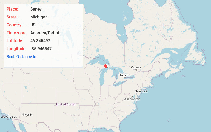
Full AddressSeney, MI 49883
-
Coordinates46.3454921, -85.9465471
-
LocationSeney , Michigan , US
-
TimezoneAmerica/Detroit
-
Current Local Time11:12:12 PM America/DetroitTuesday, June 3, 2025
-
Page Views0
About Seney
Seney is an unincorporated community in Schoolcraft County in the Upper Peninsula of Michigan, United States. State trunkline highway M-28 runs directly though Seney.
The historic community of Seney began as a railroad stop in 1881.


Nearby Places
Found 10 places within 50 miles

Danaher
7.9 mi
12.7 km
Danaher, MI 49853
Get directions
Carpenter Landing
9.8 mi
15.8 km
Carpenter Landing, MI 49853
Get directions
Green Haven
13.8 mi
22.2 km
Green Haven, MI 49883
Get directions
Natalie
17.6 mi
28.3 km
Natalie, MI 49868
Get directions

Newberry
20.8 mi
33.5 km
Newberry, MI 49868
Get directions
Corinne
20.9 mi
33.6 km
Corinne, MI 49838
Get directions
Inland
21.6 mi
34.8 km
Inland, MI 49840
Get directions

Grand Marais
22.6 mi
36.4 km
Grand Marais, MI
Get directions

Engadine
23.9 mi
38.5 km
Engadine, MI 49827
Get directions
Gulliver
24.6 mi
39.6 km
Gulliver, MI 49840
Get directions
Location Links
Local Weather
Weather Information
Coming soon!
Location Map
Static map view of Seney, Michigan
Browse Places by Distance
Places within specific distances from Seney
Short Distances
Long Distances
Click any distance to see all places within that range from Seney. Distances shown in miles (1 mile ≈ 1.61 kilometers).