Distance to Service Creek, Oregon

Calculating Your Route
Just a moment while we process your request...
Location Information
-
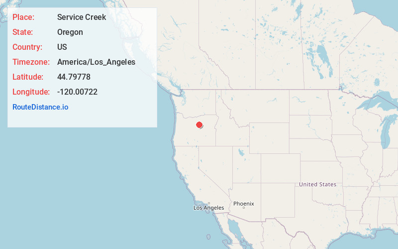
Full AddressService Creek, OR 97830
-
Coordinates44.79778, -120.0072201
-
LocationService Creek , Oregon , US
-
TimezoneAmerica/Los_Angeles
-
Current Local Time3:53:30 AM America/Los_AngelesSaturday, June 21, 2025
-
Page Views0
About Service Creek
Service Creek is an unincorporated community in Wheeler County, in the U.S. state of Oregon. Service Creek lies on Oregon Route 19 near its intersection with Oregon Route 207. It is also near the mouth of a stream, Service Creek, formerly Sarvis Creek, that empties into the John Day River.
Nearby Places
Found 10 places within 50 miles

Alder Mountain
2.2 mi
3.5 km
Alder Mountain, Oregon 97830
Get directions

Spray
10.8 mi
17.4 km
Spray, OR 97874
Get directions

Fossil
17.2 mi
27.7 km
Fossil, OR 97830
Get directions

Mitchell
17.5 mi
28.2 km
Mitchell, OR 97750
Get directions
Spoos Mill
19.4 mi
31.2 km
Spoos Mill, OR 97750
Get directions

Lonerock
21.0 mi
33.8 km
Lonerock, OR 97823
Get directions

Mayville
21.6 mi
34.8 km
Mayville, OR 97830
Get directions

Thirtymile Creek
22.5 mi
36.2 km
Thirtymile Creek, Oregon
Get directions

Clarno
24.2 mi
38.9 km
Clarno, OR 97830
Get directions

Monument
28.8 mi
46.3 km
Monument, OR 97864
Get directions
Location Links
Local Weather
Weather Information
Coming soon!
Location Map
Static map view of Service Creek, Oregon
Browse Places by Distance
Places within specific distances from Service Creek
Short Distances
Long Distances
Click any distance to see all places within that range from Service Creek. Distances shown in miles (1 mile ≈ 1.61 kilometers).