Distance to Seventysix, Missouri

Calculating Your Route
Just a moment while we process your request...
Location Information
-
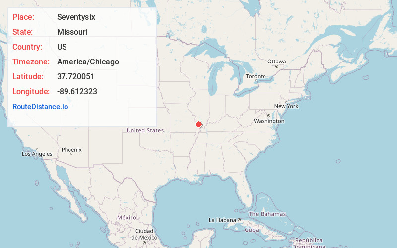
Full AddressSeventysix, Brazeau Township, MO 63748
-
Coordinates37.7200514, -89.6123226
-
LocationBrazeau Township , Missouri , US
-
TimezoneAmerica/Chicago
-
Current Local Time6:46:29 AM America/ChicagoSunday, June 22, 2025
-
Page Views0
About Seventysix
Seventy-Six was an unincorporated community in Brazeau Township in eastern Perry County, Missouri, United States. It was located fourteen miles east of Perryville, ninety miles south of Saint Louis, and lay directly on the Mississippi River.
Nearby Places
Found 10 places within 50 miles

Starland
1.7 mi
2.7 km
Starland, Brazeau Township, MO 63748
Get directions
Raddle
4.3 mi
6.9 km
Raddle, IL 62950
Get directions
Frohna
5.6 mi
9.0 km
Frohna, MO 63748
Get directions

Altenburg
6.3 mi
10.1 km
Altenburg, MO
Get directions
Wittenberg
6.7 mi
10.8 km
Wittenberg, MO 63748
Get directions

Gorham
6.9 mi
11.1 km
Gorham, IL 62940
Get directions
Crain
7.1 mi
11.4 km
Crain, Kinkaid Township, IL 62907
Get directions
Point Rest
8.6 mi
13.8 km
Point Rest, Bois Brule Township, MO 63775
Get directions

Grand Tower
9.0 mi
14.5 km
Grand Tower, IL 62942
Get directions
Longtown
9.5 mi
15.3 km
Longtown, MO 63775
Get directions
Location Links
Local Weather
Weather Information
Coming soon!
Location Map
Static map view of Seventysix, Missouri
Browse Places by Distance
Places within specific distances from Seventysix
Short Distances
Long Distances
Click any distance to see all places within that range from Seventysix. Distances shown in miles (1 mile ≈ 1.61 kilometers).