Distance to Shady Bend, Ohio

Calculating Your Route
Just a moment while we process your request...
Location Information
-
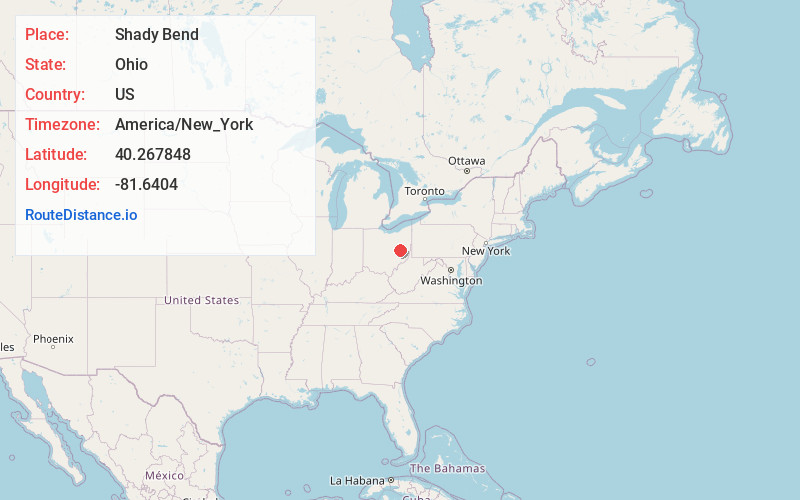
Full AddressShady Bend, Oxford Township, OH 43832
-
Coordinates40.2678482, -81.6404
-
LocationOxford Township , Ohio , US
-
TimezoneAmerica/New_York
-
Current Local Time11:05:56 AM America/New_YorkTuesday, June 24, 2025
-
Page Views0
Nearby Places
Found 10 places within 50 miles

Isleta
1.6 mi
2.6 km
Isleta, Oxford Township, OH 43845
Get directions
Low Gap
1.7 mi
2.7 km
Low Gap, OH 43832
Get directions

Newcomerstown
1.8 mi
2.9 km
Newcomerstown, OH 43832
Get directions
Mizers
3.2 mi
5.1 km
Mizers, Newcomerstown, OH 43832
Get directions
Postboy
4.1 mi
6.6 km
Postboy, Oxford Township, OH 43832
Get directions
Plainfield
5.8 mi
9.3 km
Plainfield, OH
Get directions
Booth
5.8 mi
9.3 km
Booth, Oxford Township, OH 43832
Get directions

West Lafayette
5.9 mi
9.5 km
West Lafayette, OH 43845
Get directions
Bakersville
6.1 mi
9.8 km
Bakersville, OH 43832
Get directions
Bernice
6.4 mi
10.3 km
Bernice, Washington Township, OH 43832
Get directions
Location Links
Local Weather
Weather Information
Coming soon!
Location Map
Static map view of Shady Bend, Ohio
Browse Places by Distance
Places within specific distances from Shady Bend
Short Distances
Long Distances
Click any distance to see all places within that range from Shady Bend. Distances shown in miles (1 mile ≈ 1.61 kilometers).